Alaska-Pacific RFC
River Forecast Center
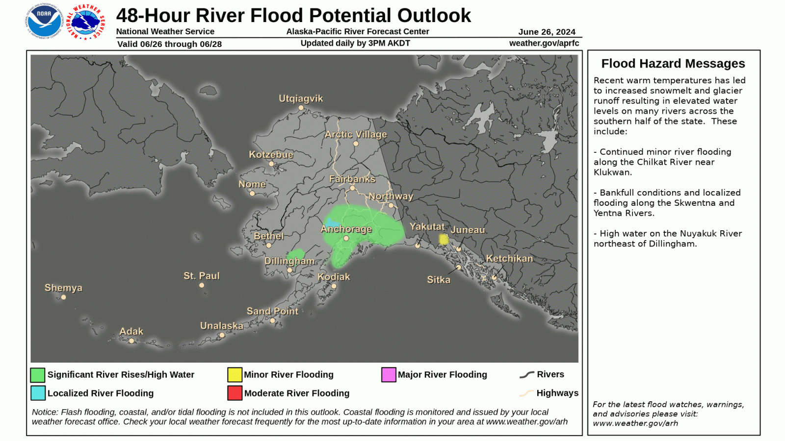
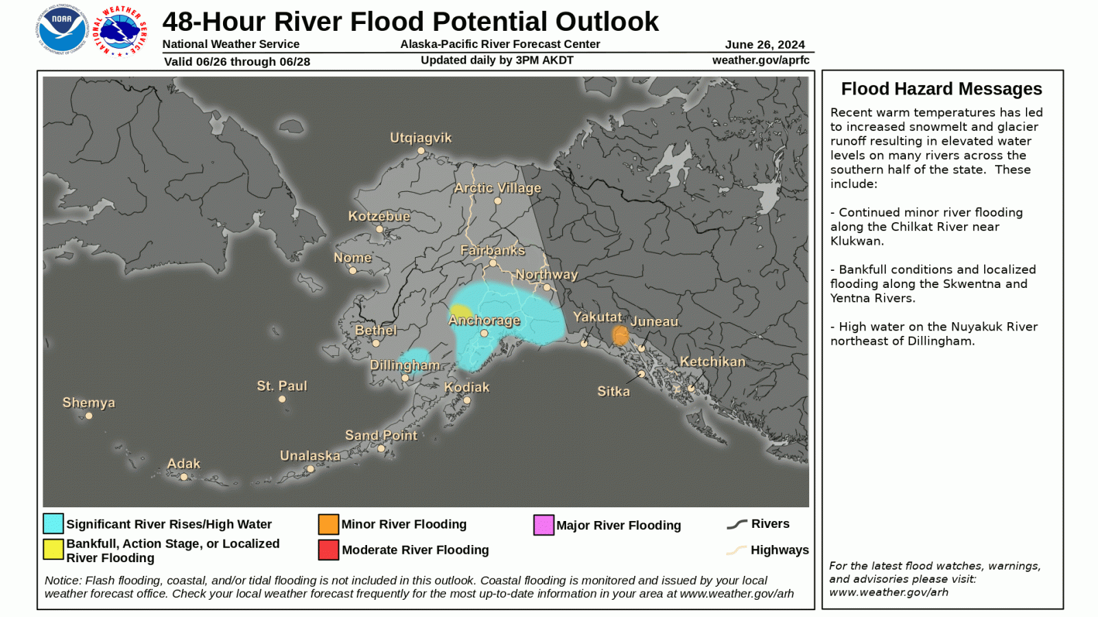
The Alaska-Pacific River Forecast Center (APRFC) is proposing minor updates to the 48 Hour Flood Potential Outlook Product (FOP) on or around August 7, 2024. The APRFC is soliciting comments on the updated graphical format through August 1, 2024.
Updates include:
The color notation used for significant rises, action and minor riverine flood stages have been modified to align with NWS Flood Categories (e.g., Action, Minor, Moderate, etc.). Significant rises is now represented by blue, action stage by yellow, and the minor flood stage by orange.
Changes were made to the flood category headlines to be consistent with NWS and APRFC high water level terminology: “Localized River Flooding” was edited to “Bankfull, Action Stage, or Localized River Flooding.”
The 48-Hour River Flood Potential Outlook (FOP), provided by the National Weather Service’s Alaska-Pacific River Forecast Center (APRFC), identifies areas of potential small stream and river flooding over the next 48 hours. It categorizes flood stages (action, minor, moderate, and major) based on current hydrological and meteorological conditions, forecasts (river stage, precipitation), and input from Weather Forecast Offices (WFOs) and APRFC. This tool is accessible to the public via the "48-Hour Flood Outlook" landing page at https://www.weather.gov/aprfc/48flood and the "Quick Brief" landing page at https://www.weather.gov/aprfc/GraphicalHMD. Please note that this tool does not cover coastal or flash flooding.
The APRFC is always seeking user feedback in order to improve products and services. Comments regarding the 48-Hour River FOP graphic should be sent to:
Celine van Breukelen
Service Coordination Hydrologist
US Dept of Commerce
National Oceanic and Atmospheric Administration
National Weather Service
Alaska-Pacific RFC
Alaska-Pacific River Forecast Center
6930 Sand Lake Road
Anchorage, AK 99502
907-266-5160
Comments? Questions? Please Contact Us.


