
Severe thunderstorms are expected mainly from Kansas into northern Missouri and into Iowa Tuesday. Damaging winds will be the most likely threat, with large hail possible. An Enhanced Risk (level 3 of 5) of severe thunderstorms is in effect. Hot conditions will continue across the Southern Plains Tuesday, spreading into the southeast and Mid-Atlantic by Independence Day. Read More >
Southeast RFC
River Forecast Center
SERFC River Flood Summary: Minor: 0 (0%)
Moderate: 0 (0%)
Major: 0 (0%)
Use the map below to view forecast locations experiencing flooding and link to detailed forecast information.
US Dept of Commerce
National Oceanic and Atmospheric Administration
National Weather Service
Southeast RFC
4 Falcon Drive
Peachtree City, GA 30269
770-486-0028
Comments? Questions? Please Contact Us.


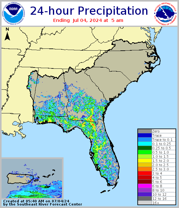 Precipitation for past 24 hours
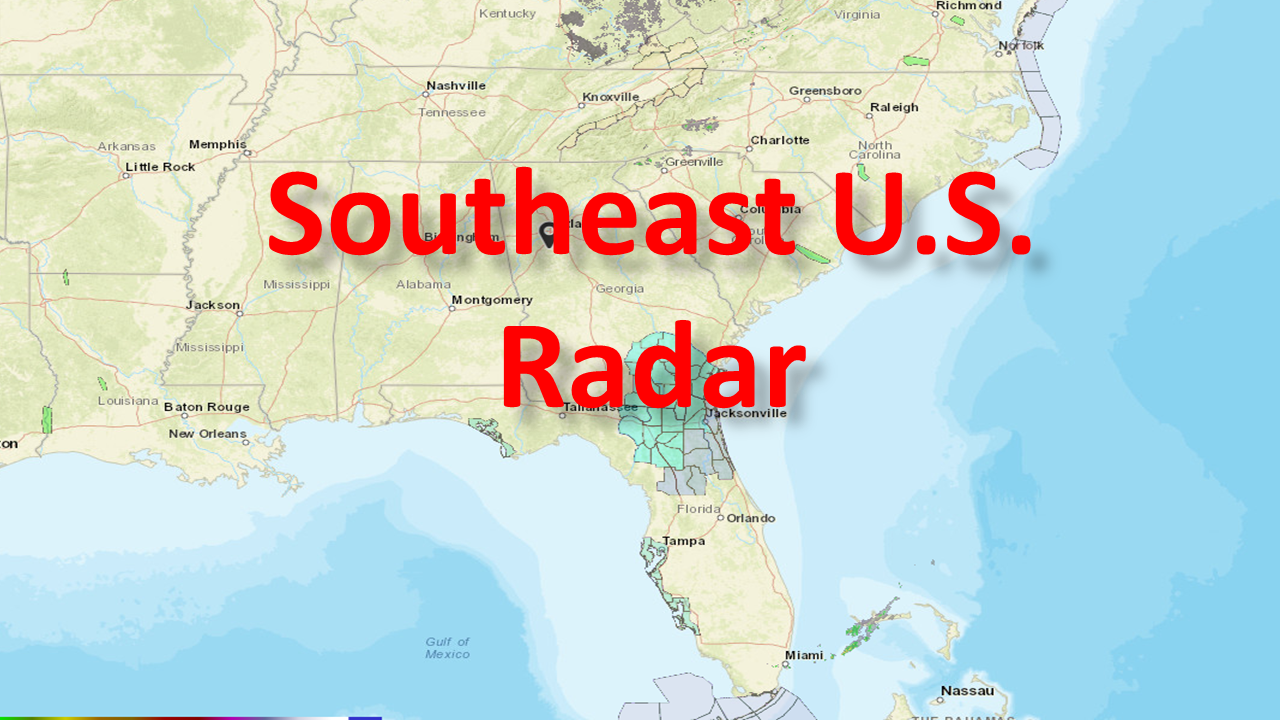 Current Southeast U.S. Radar
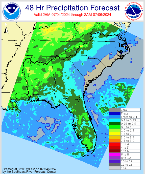 Forecast precipitation for next 48 hours
 Maps from the Enhanced Data Display
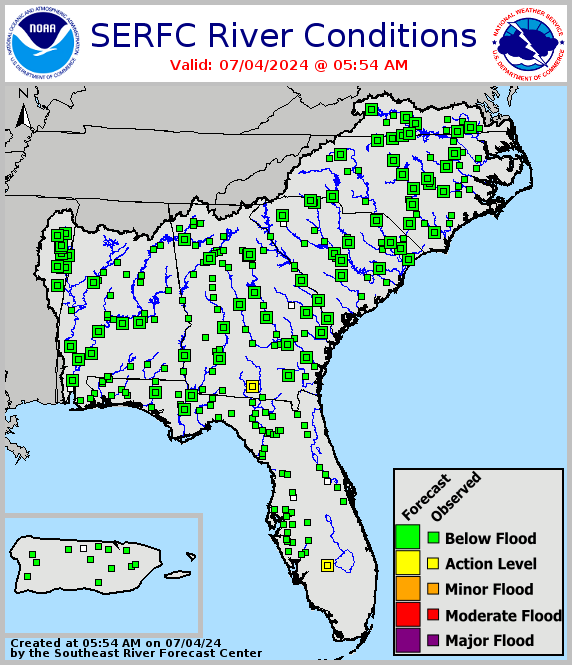 Legacy SERFC status map
 Southeast U.S. Drought Monitor