National Weather Service United States Department of Commerce

This Independence Holiday will be Hot with Storms to Monitor

Record breaking heat wave will continue to affect much of the western United States through this holiday weekend. The heat also lingers for the lower Mississippi Valley and Southern Plains, then shifts over the mid-Atlantic and Southeast. Severe weather and flooding concerns through today for the Midwest, Ohio Valley, and Southern Plains. We continue to closely watch the track of Hurricane Beryl. Read More >

Click a location below for detailed forecast.

Last Map Update: Thu, Jul 4, 2024 at 5:22:26 am MDT
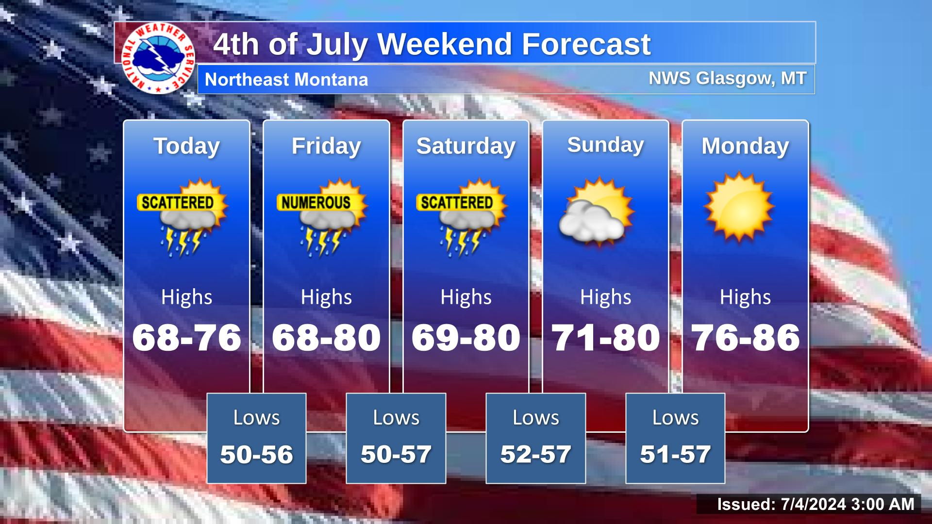
There will be showers and thunderstorms at times each day through Saturday. The showers and storms will be most frequent in the afternoon and evening. Sunday and Monday will be mostly sunny.
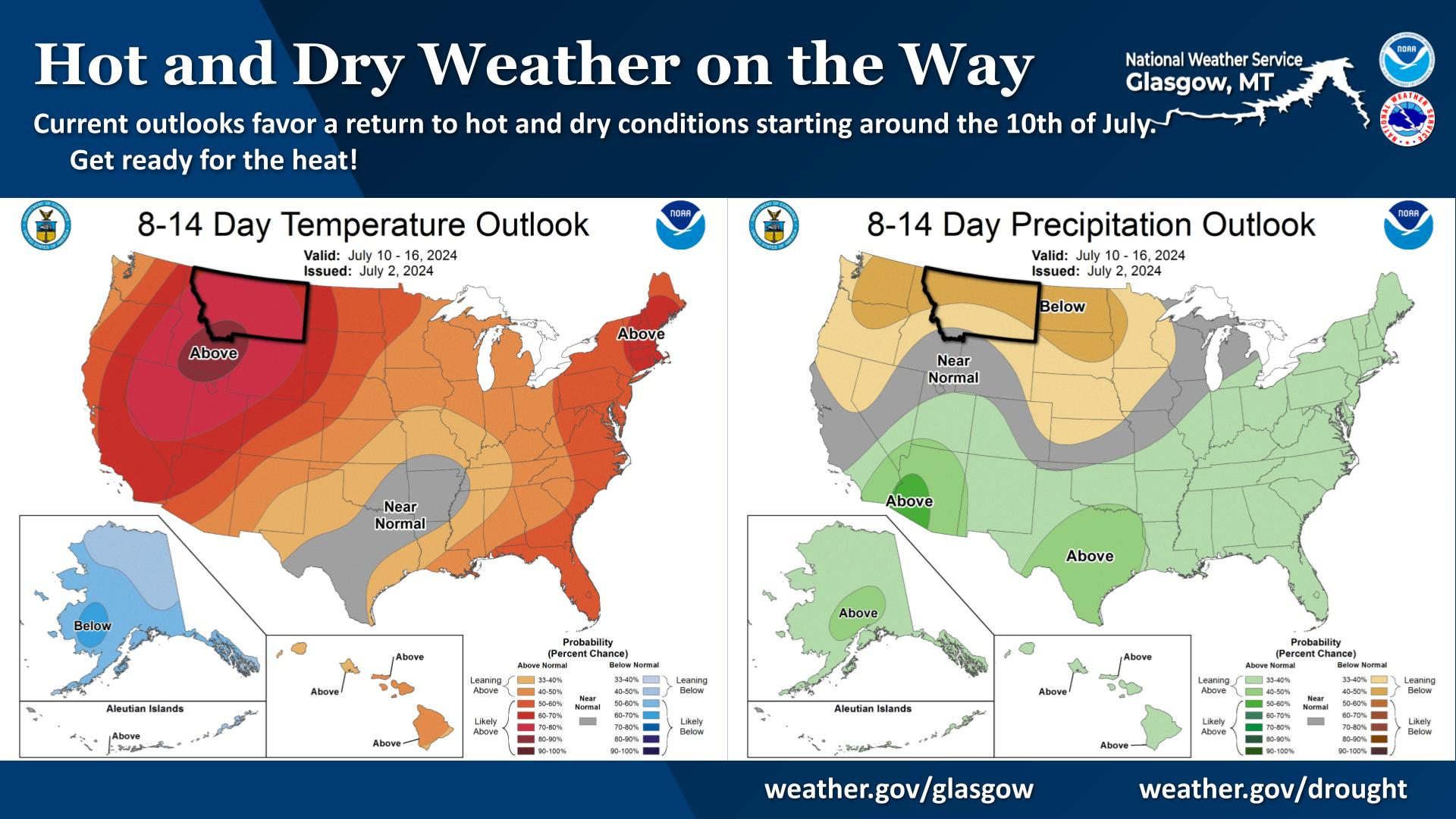
Current outlooks favor a return to hot and dry conditions starting around the 10th of July. Get ready for the heat!
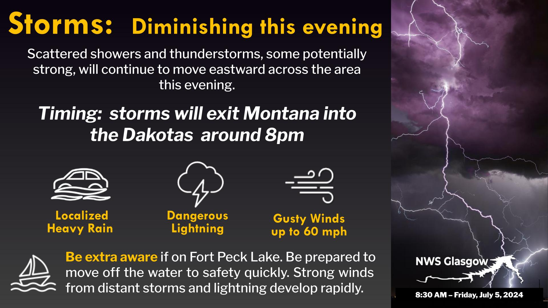
Slow moving storms have caused localized heavy rainfall, and we are concerned about flooding in areas receiving heavy rain. If you have any rainfall reports, please let us know! Make sure to include how much rain you received, the start and end times (as best you can estimate) and your location (as specific as possible is best).


Text Product Selector (Selected product opens in current window)
OSZAR »