
Severe thunderstorms will be possible on Independence Day, mainly across parts of the Upper Mississippi Valley, Ozarks, and southern/central Plains. Excessive heat with possible record highs and warm overnight lows will continue to impact much of the West into next week. Dangerous heat is expected across the Southern U.S. and Mid-Atlantic into the weekend. Read More >
The following data are snowpack. Basin snowpack images have been discontinued. Please find the latest Western Basin Snow Water Equivalent maps here. The following data are preliminary and estimated snow depths across the region. Methodology for this now depth imagery is here: https://www.nohrsc.noaa.gov/technology/pdf/NOAAs_National_Snow_Analyses.pdf
Latest Modeled Snow Depth per NOHRSC. Click for snow depth value. Latest Estimated Snow Depth per NOHRSC Latest Estimated Snow Depth Compared to Normal Snow Depth for Current Month per NOHRSC Estimated snowfall in past 24 hours per NOHRSC Estimated Snow depth over the CONUS per NOHRSC
Snow Depth All Areas
Crater Lake Snow


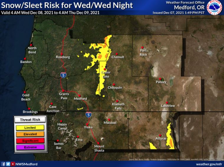 Graphical Hazards Outlook
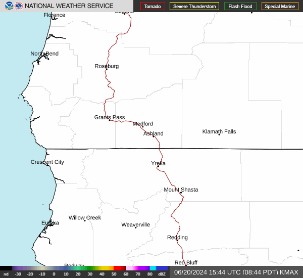 RADAR and Satellite
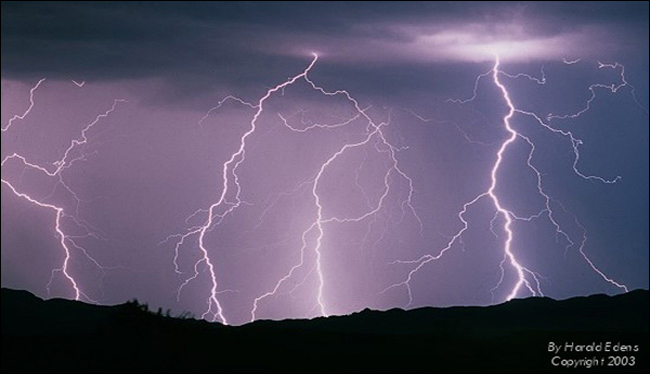 Lightning Climatology
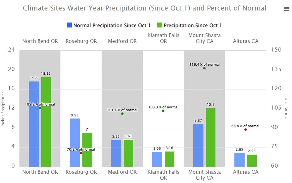 Precipitation Tracker
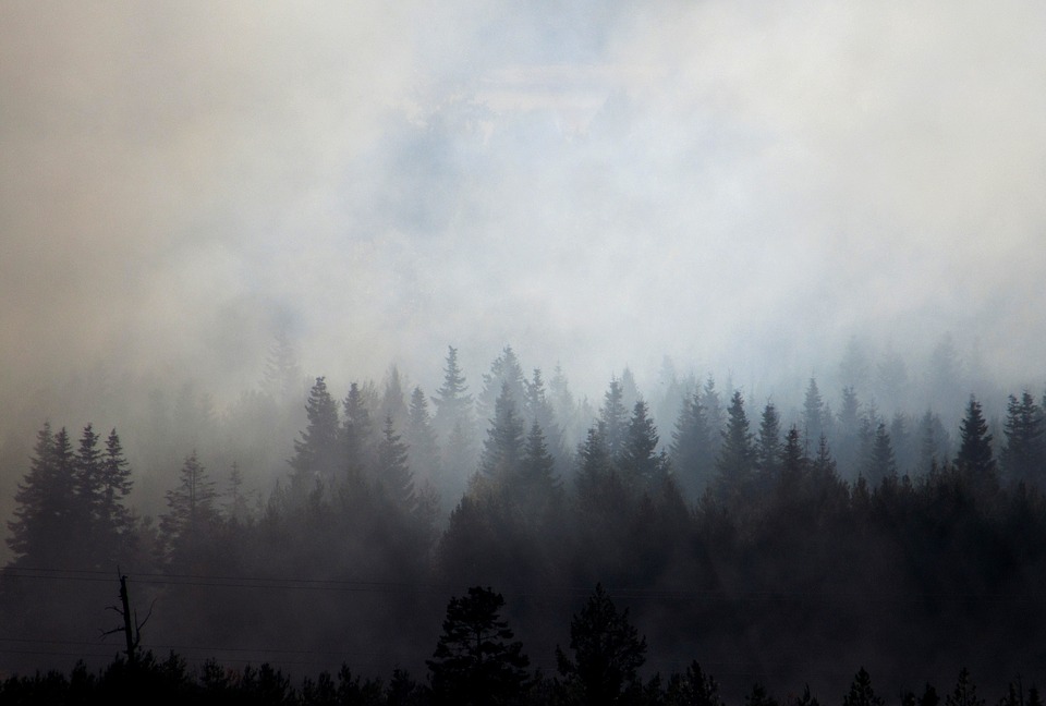 Smoke and Wildfire Safety
 Forecast Discussion
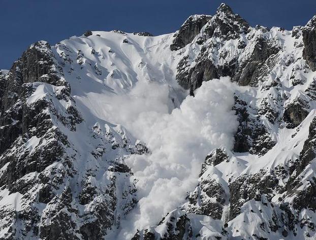 Avalanche Guidance
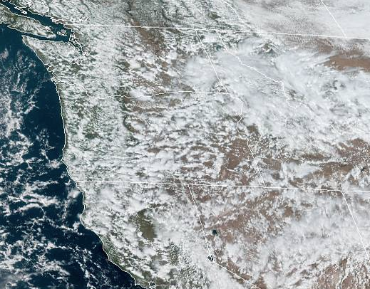 NESDIS Geocolor
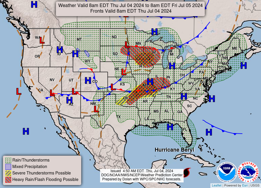 Weather Map
 Forecast Weather Tables
 Climate Graphs
 Marine
 Fire Weather
 Crater Chronicle and Monthly Climate Summaries
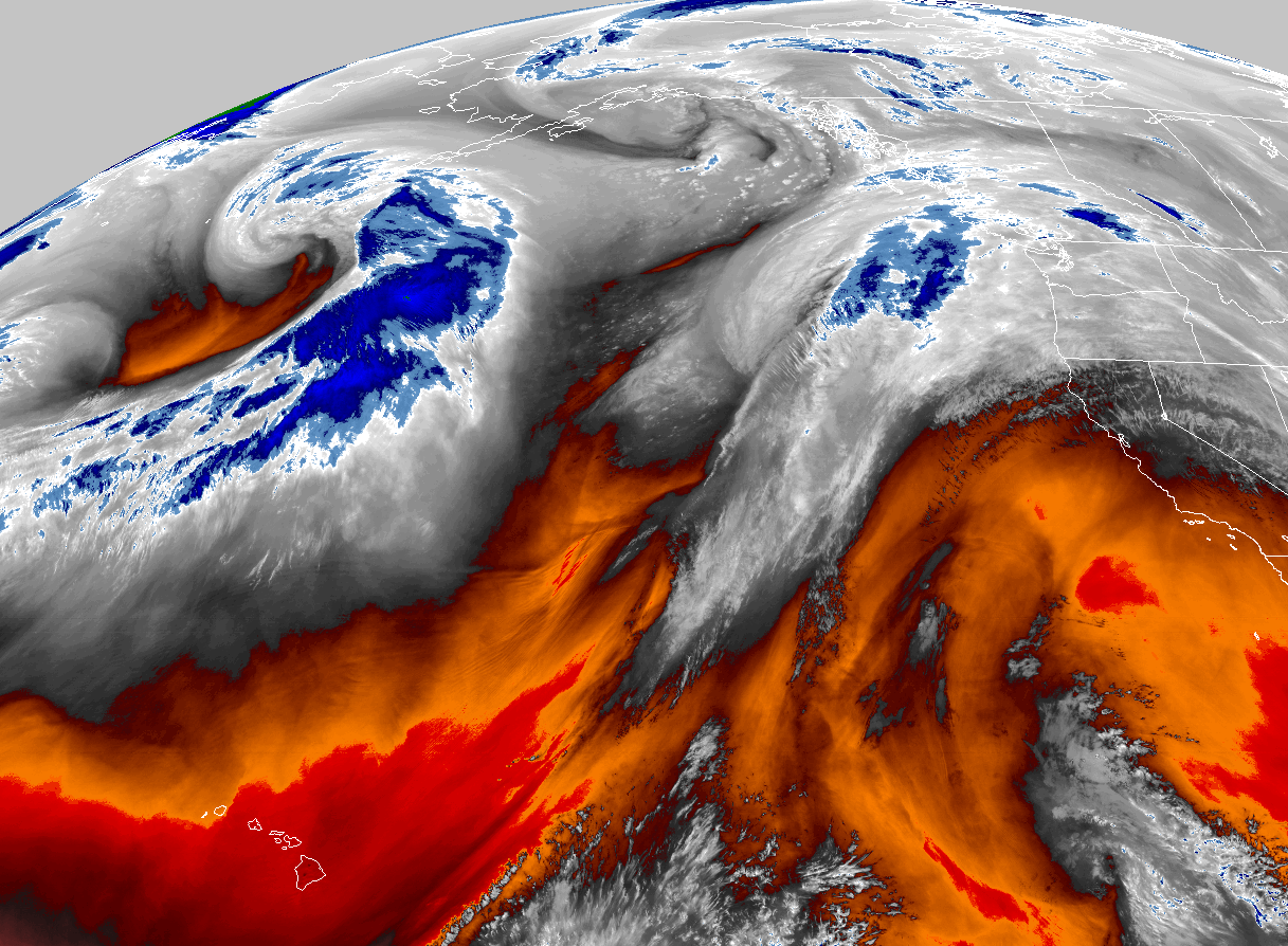 GOES 18 Water Vapor Imagery
 Mountain Pass Forecasts