Severe thunderstorms will be possible on Independence Day, mainly across parts of the Upper Mississippi Valley, Ozarks, and southern/central Plains. Excessive heat with possible record highs and warm overnight lows will continue to impact much of the West into next week. Dangerous heat is expected across the Southern U.S. and Mid-Atlantic into the weekend. Read More >
Northeast RFC
River Forecast Center
Observed Precipitation
 Forecast Precipitation  1 Hour Flash flood Guidance  3 Hour Flash flood Guidance 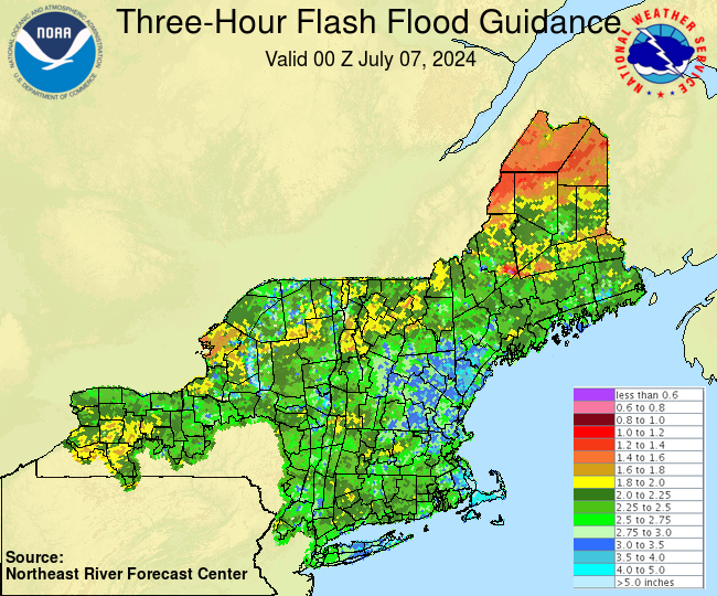 Flood Potential Outlook 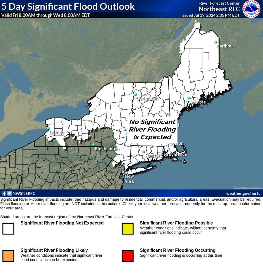 Precipitation and Departures from Normal 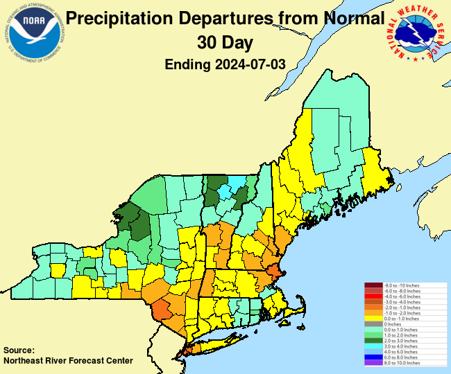 Short-Term Precipitation Totals  |
River Conditions Click here to link to AHPS page. 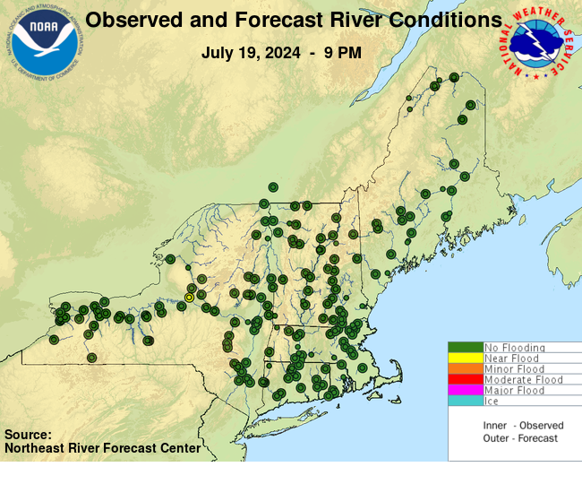
 |
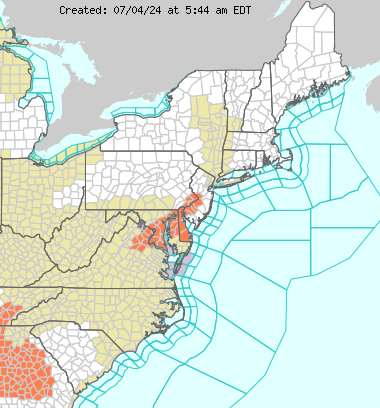
Eastern Region Hazards
 USGS WaterWatch 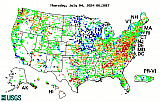 Short Range Forecast  Satellite Images  WPC 1-3 Day QPF 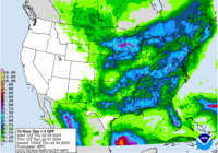 Excessive Rainfall Forecast 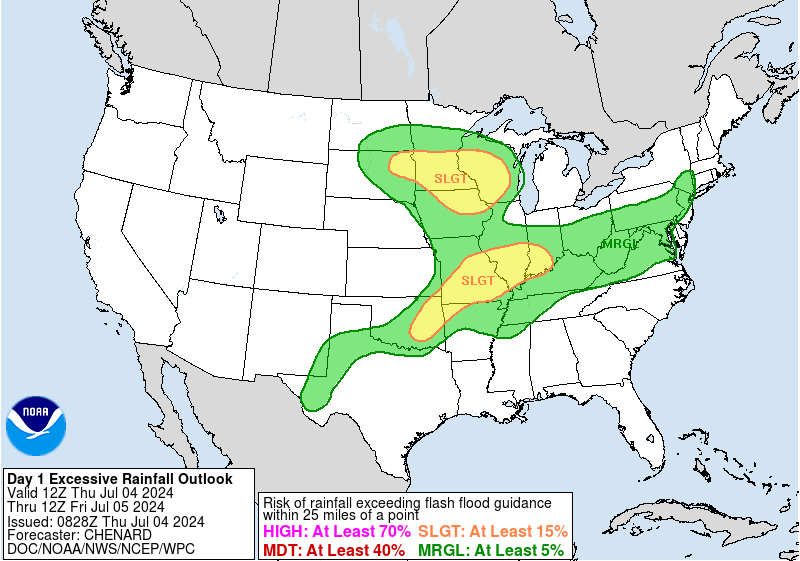 Drought Monitor  |
||||
US Dept of Commerce
National Oceanic and Atmospheric Administration
National Weather Service
Northeast RFC
46 Commerce Way
Norton, MA 02766
(508) 622-3300
Comments? Questions? Please Contact Us.