National Weather Service United States Department of Commerce

Severe Thunderstorms and Excessive Rainfall in the Central U.S.; Excessive Heat Across the Western and Southern U.S.

Severe thunderstorms will be possible on Independence Day, mainly across parts of the Upper Mississippi Valley, Ozarks, and southern/central Plains. Excessive heat with possible record highs and warm overnight lows will continue to impact much of the West into next week. Dangerous heat is expected across the Southern U.S. and Mid-Atlantic into the weekend. Read More >

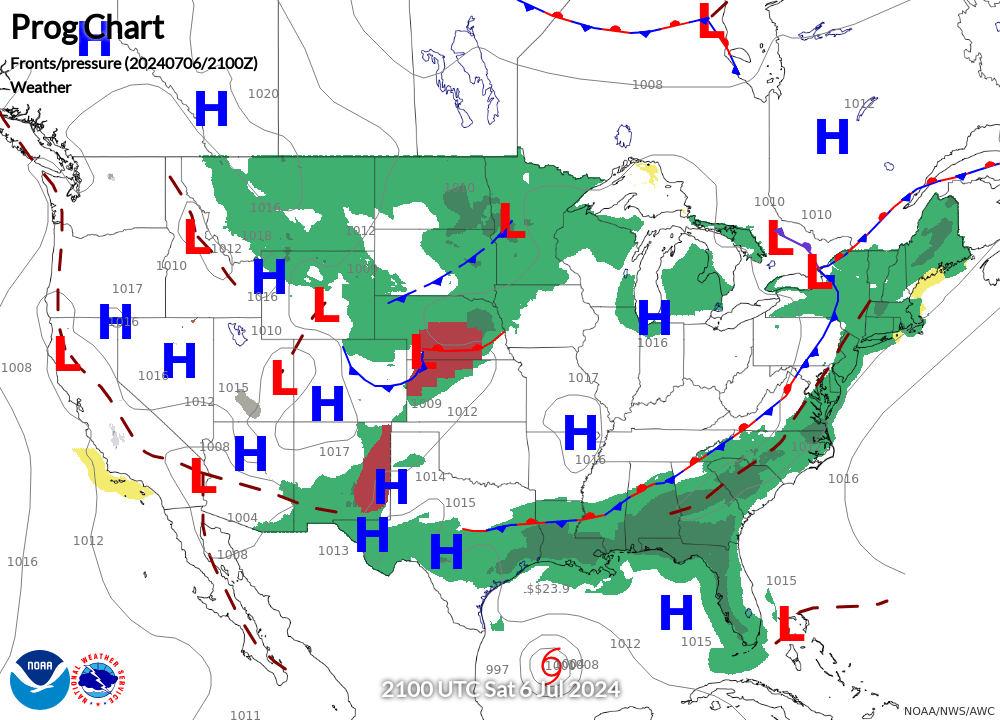
NWS Latest Surface Analysis
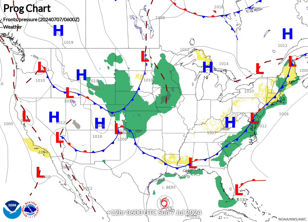
NWS 12-HOUR Surface Forecast
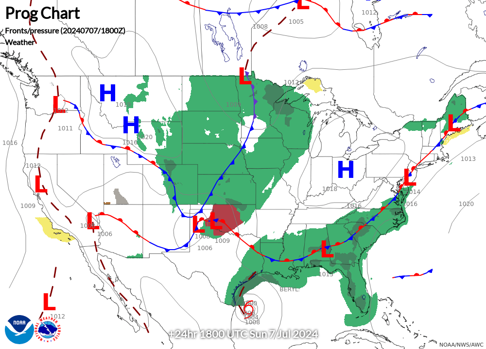
NWS 24-HOUR Surface Forecast
Latest Visible Satellite
Latest Infrared Satellite
NE Radar Mosaic (updated every 10 minutes)
PIREPs - Icing NE (last 2 hours)
Current Icing AIRMETs
N90 Icing
PHL Icing
Icing SIGMET
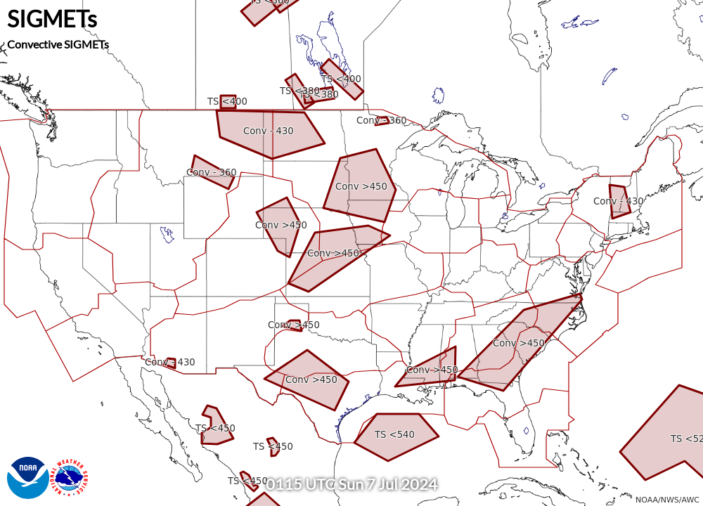
Current Convective SIGMETs
N90 Thunderstorms
PHL Thunderstorms
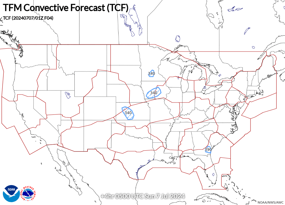
TCF 4-hour Convective Forecast (updated every 2 hours)
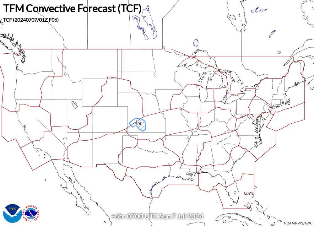
TCF 6-hour Convective Forecast (updated every 2 hours)
TCF 8-hour Convective Forecast (updated every 2 hours)
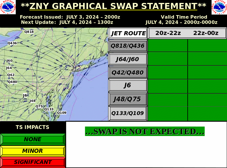
SWAP Day 1
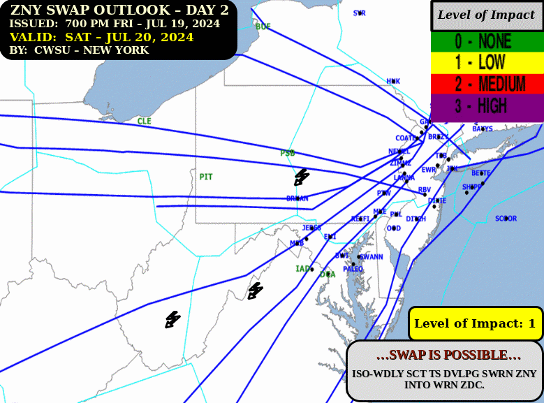
SWAP Day 2
00z 250mb Winds
12z 250mb Winds
Current FL090 Winds (Analysis)
Current FL030 Winds (Analysis)
PIREPs - Turbulence NE (last 2 hours)
Current Turbulence AIRMETs
Current Turbulence SIGMETs
OSZAR »