Summary
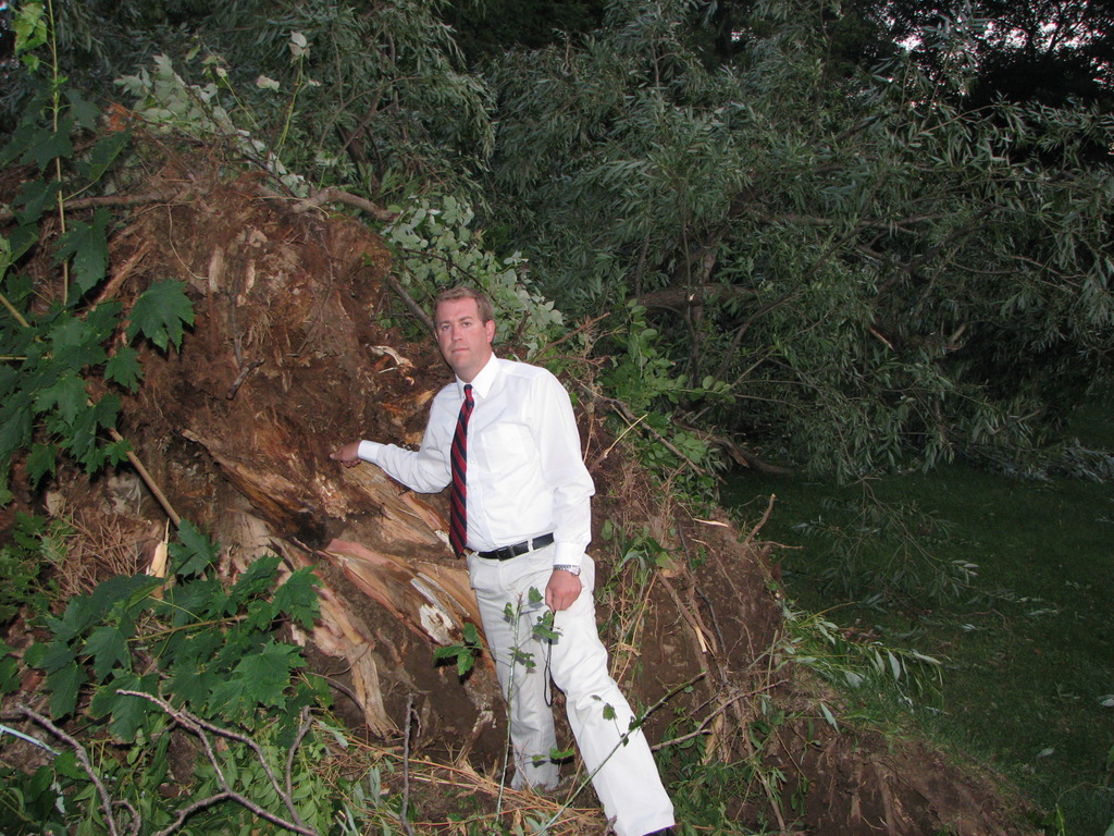
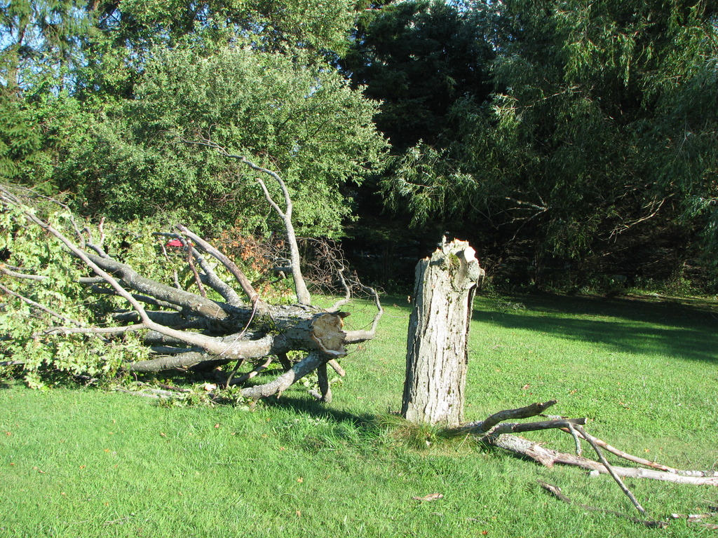
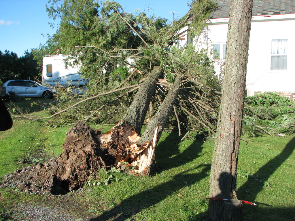
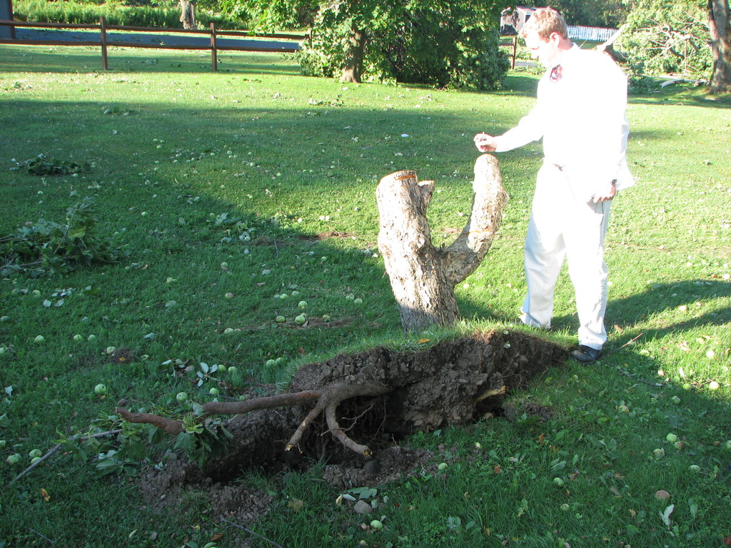
A tornado briefly touched down just north of College Hill road, about a mile west of the Hamilton College Campus. The general public reported that most of the trees that were snapped were pointing toward due east. However, at this location one large tree was uprooted and another large branch was broken and they both pointed due north. The tornado lifted as it crossed College Hill Road before briefly touching down again just south of College Hill Road in a field south of Crane Farm. Video submitted to us via email and also posted by WKTV-TV in Utica, NY helped aide in the determination of this touchdown.
The tornado continued on the ground before lifting near peters lane. Damage was still mostly toward the east but the Kirkland Highway Supervisor confirmed that some of the brush in this area was pointing in the opposite direction.
The combination of eyewitness reports and video at the two damage locations helped aide in this confirmation. It appears that after these two brief touchdowns near College Hill Road the tornado lifted up and did not touchdown again until near Kellogg Street just east of Route 12, as confirmed by the storm survey yesterday.
Summary
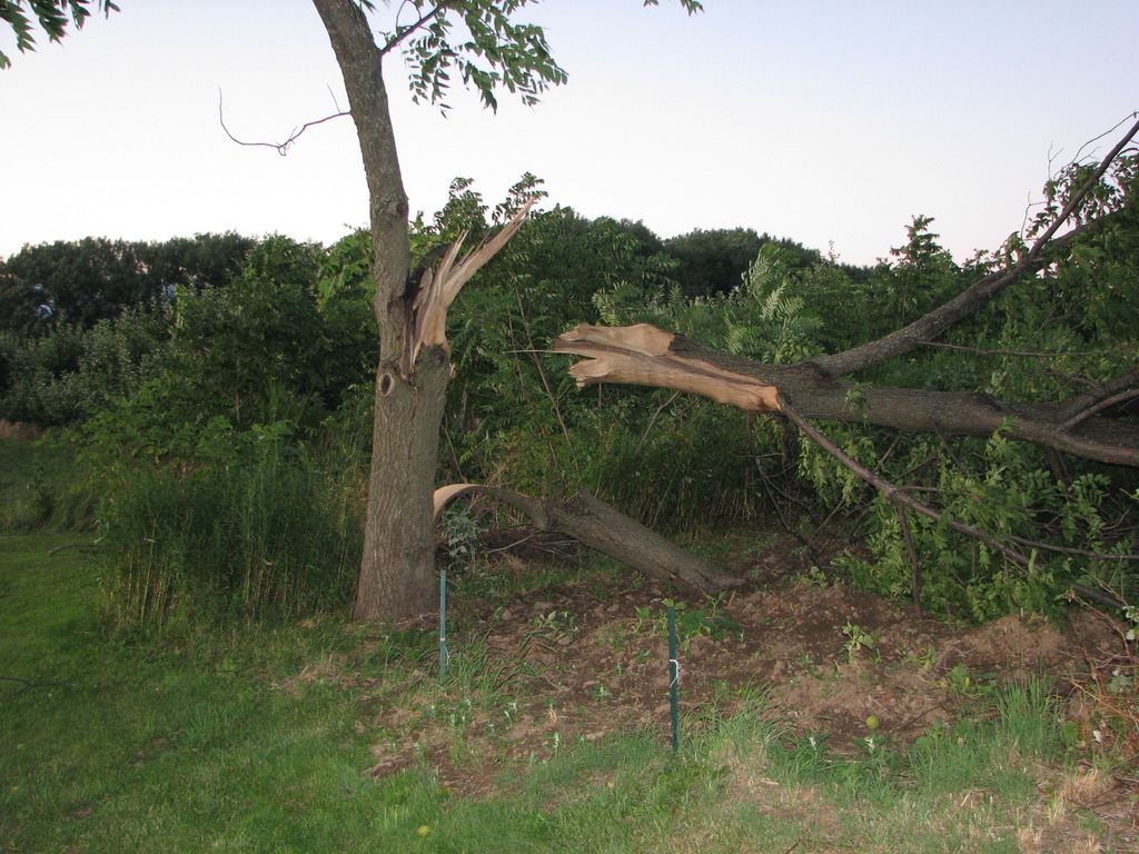
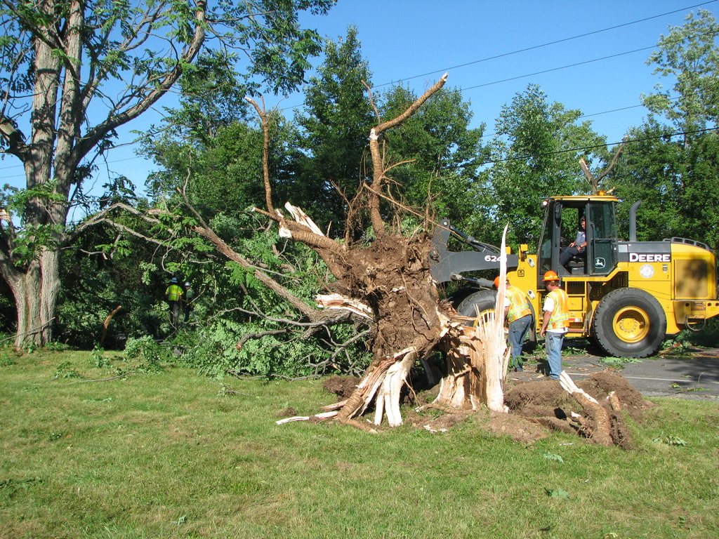
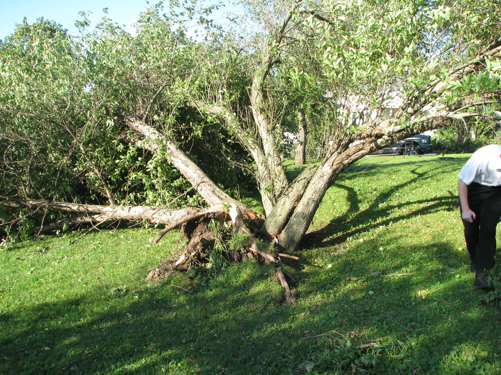
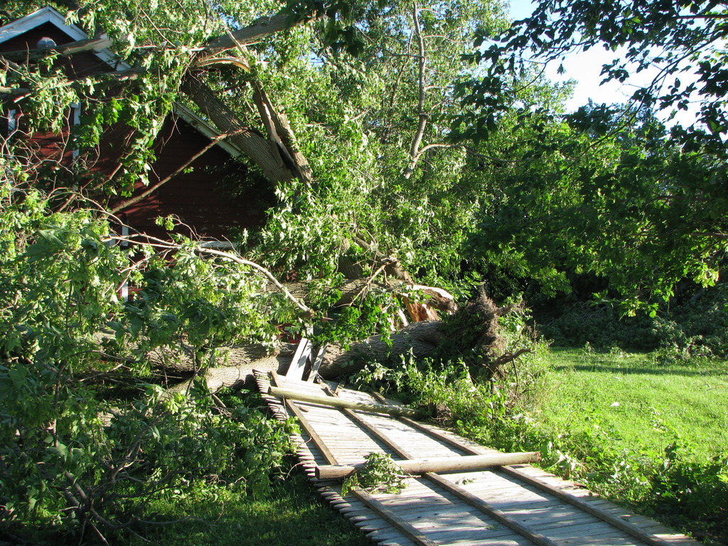
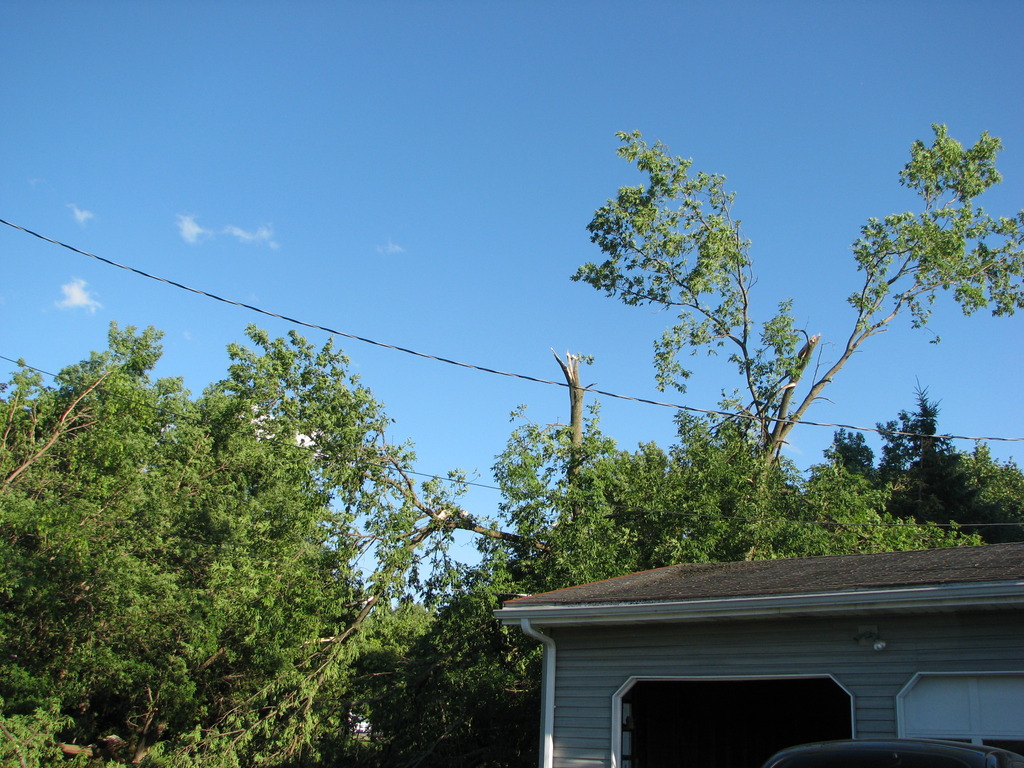
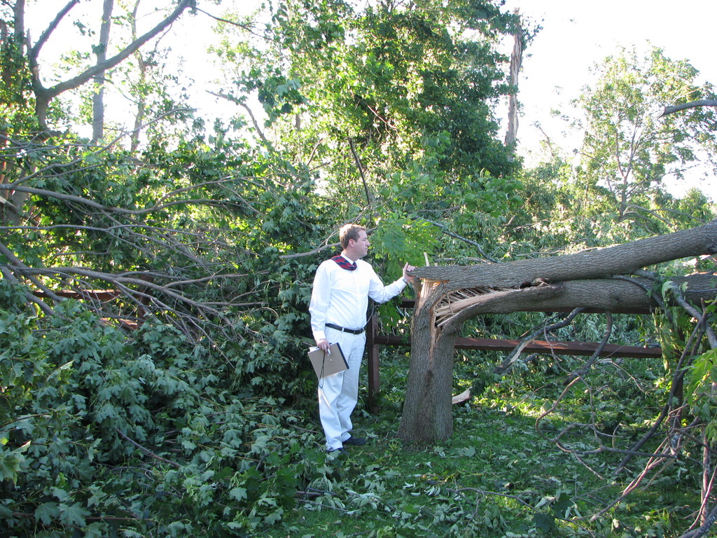
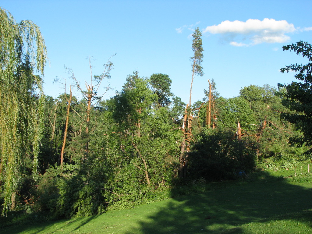
A tornado briefly touched down in the town of Kirkland, along Kellogg Street, just west of State Route 12, about 2.5 miles southeast of Clinton. Several large hardwood trees were either uprooted or snapped. The downed trees on this property, just on the north side of Kellogg Street, were pointing towards the west to southwest, while the storm motion and most other damage were oriented towards the east.
As judged from the observed damage patterns, and also eyewitness accounts, the tornado appeared to be on the ground for only a very short period of time, very likely less than a minute. The tornado appeared to lift just on the south of Kellogg Street, before reaching State Route 12.
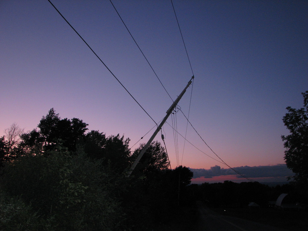
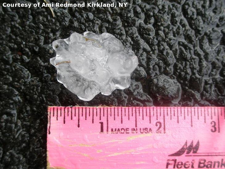
Photos:
Click on an image below to see a larger view.
 |
 |
Summary
The path of damage began on Reservoir Road, in the town of Kirkland, where two trees were downed. The path continued eastward across Harding road, or State Route 233, where numerous additional trees were snapped or uprooted. These first two locations exhibited damage consistent with winds of 70-80 mph.
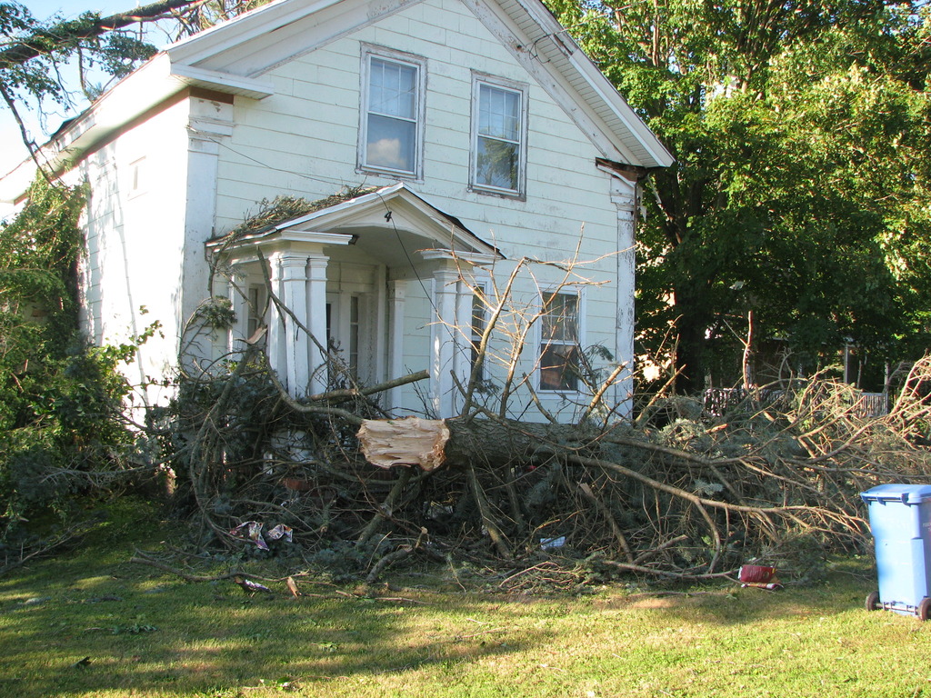
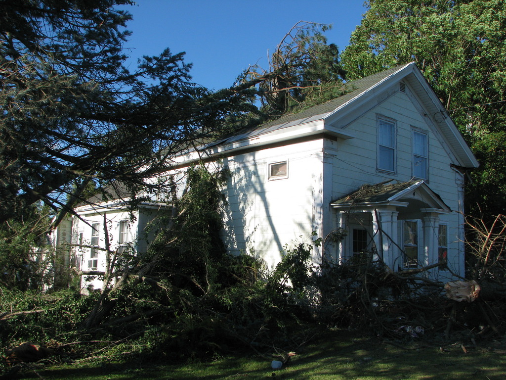
Farther east in Franklin Springs, the damage intensified on Furnace Street, just west of State Route 12b. One to two dozen trees were downed, including a large healthy black walnut tree snapped just above the base. Several of the trees were down on houses. The damage at this location was consistent with winds around 90 mph.
The damage path continued eastward across Route 12b, where several more trees were snapped or uprooted between Siedsma Court and Grant Road. The damage at these locations were consistent with winds of 80-90 mph.
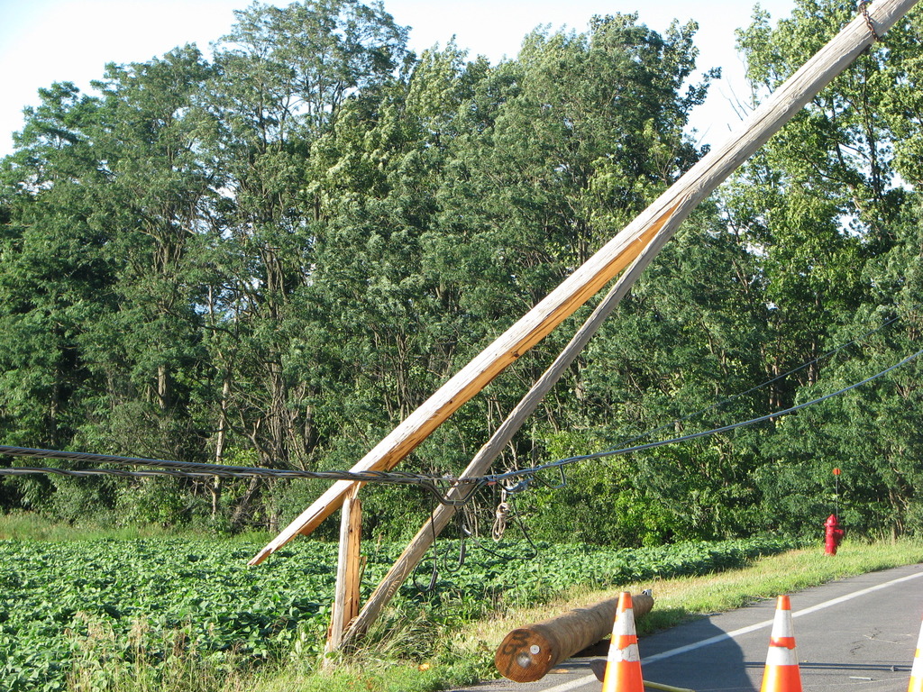
Farther east across Grant Road, a large wood pole was snapped at South Street. At this point, damage was consistent with winds around 90 mph.
The storm continued eastward across Fountain Street and Craig Road, where one tree was uprooted, but mostly larger branches were downed. Damage at these locations were consistent with winds around 70 mph.
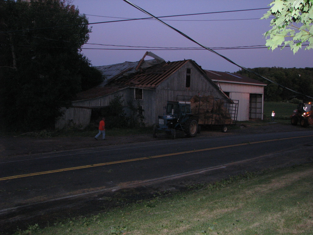
The storm continued eastward across State Route 12, between County Route 13 and Burmaster Road, where part of a tin roof was peeled off a barn. Minor tree damage was also observed. Damage at this location was consistent with winds of 60-70 mph.
The storm then tracked east-southeastward into the town of Paris, near the intersection of Grange Hill and Snowden Hill roads. A wood pole was snapped near the top. Some residential shingle damage was noted, along with minor tree damage. Damage at this location was consistent with winds of 70-80 mph.
The storm appeared to weaken thereafter, with just sporadic minor damage on Oneida Street, between Chadwicks and Sauquoit.
All of the damage along this path was pointed towards the east. This pattern would be consistent with microburst or straight line winds.
For reference:
A microburst is a convective downdraft with an affected outflow area of less than 2 1/2 miles wide and peak winds lasting less than 5 minutes. Microbursts may induce dangerous horizontal/vertical wind shears, which can adversely affect aircraft performance and cause property damage. Straight-line winds are generally any wind that is not associated with rotation, used mainly to differentiate them from tornadic winds.
Photos:
Click on an image below to see a larger view.
 |
 |
 |
 |
 |
 |
 |
 |
 |
 |
 |
 |
 |
 |
 |
 |
 |
This is a two panel display. On the right is a 0.5 Base Reflectivity, and the left is 0.5 Storm Relative Motion from the NWS Binghamton, NY WSR-88D. This loop is from 12:12 PM EDT to 1:29 PM EDT, July 26, 2011.
This is a two panel display. On the right is a 0.5 Base Reflectivity, and the left is 0.5 Storm Relative Motion from the NWS Montague, NY WSR-88D. This loop is from 12:11 PM EDT to 1:30 PM EDT, July 26, 2011.
The information in this statement is preliminary and subject to change pending final review of the event(s) and publication in National Weather Service Storm Data.
For reference, the Enhanced Fujita Scale classification can be found here.
Heden/Jurewicz/Humphrey

