
Severe thunderstorms will be possible on Independence Day, mainly across parts of the Upper Mississippi Valley, Ozarks, and southern/central Plains. Excessive heat with possible record highs and warm overnight lows will continue to impact much of the West into next week. Dangerous heat is expected across the Southern U.S. and Mid-Atlantic into the weekend. Read More >
Last Map Update: Thu, Jul 4, 2024 at 5:04:20 am CDT
CoCoRaHS  |
Submit Storm Report  |
River Stages 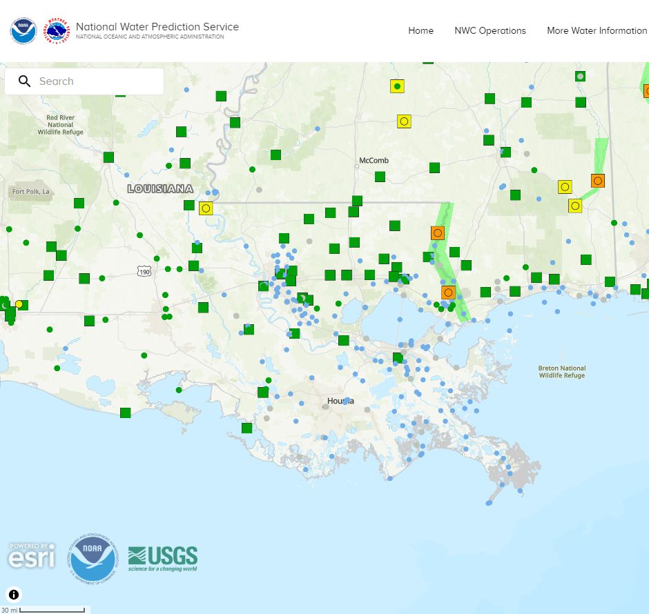 |
Current Weather Observations... | |||||||||||||||||||||||||||||||||||||||||||||||||||||||||||||||||||||||||||||||||||||||||||
|


 Local Radar
 Weather Map
 Tropical Weather Outlook
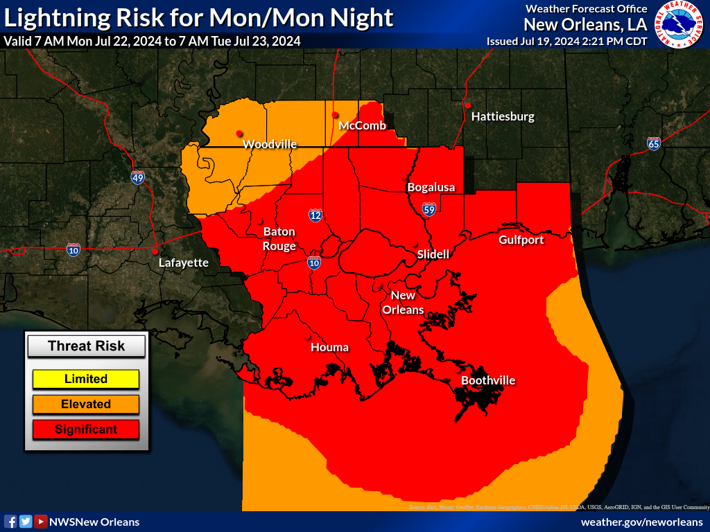 Graphical HWO
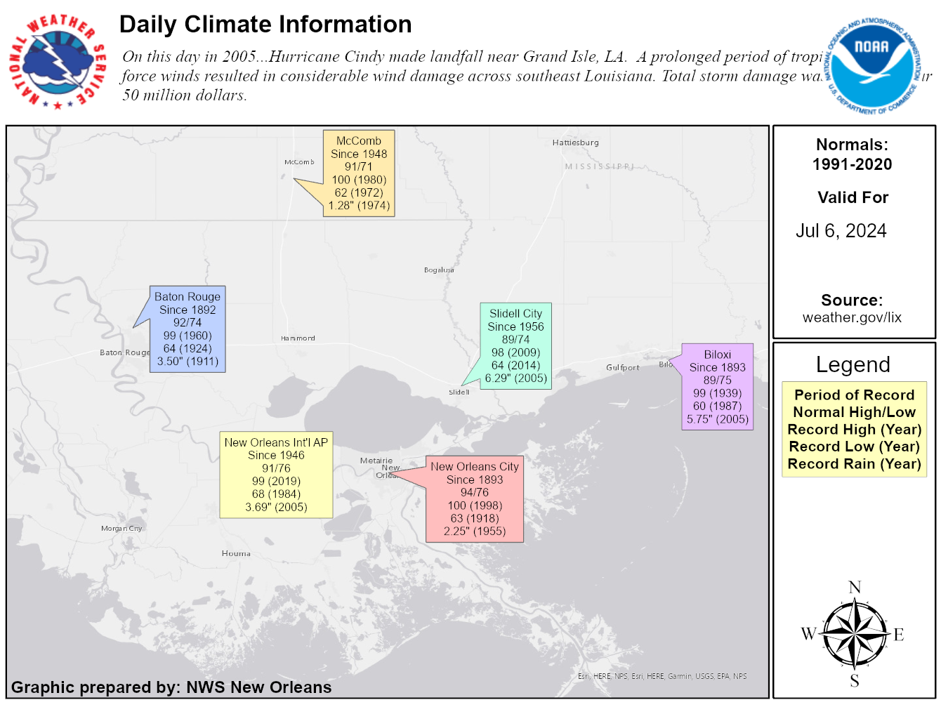 Climate Data for Today