Prior to every flight, pilots should gather all information vital to the nature of the flight. This site is informational in nature and is designed to assist pilots and aircrews for flight planning and weather familiarization. It may be used in conjunction with other preflight information sources needed to satisfy all the requirements of 14 CFR 91.103 and is not to be considered as a sole source of information to meet all preflight action. Pilots can complete their regulatory-compliant preflight briefing by using other automated resources or from Flight Service at www.1800wxbrief.com or by calling 1-800-WX-BRIEF.

.AVIATION /07Z THURSDAY THROUGH MONDAY/...
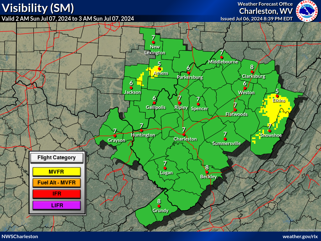
As of 129 AM Thursday...
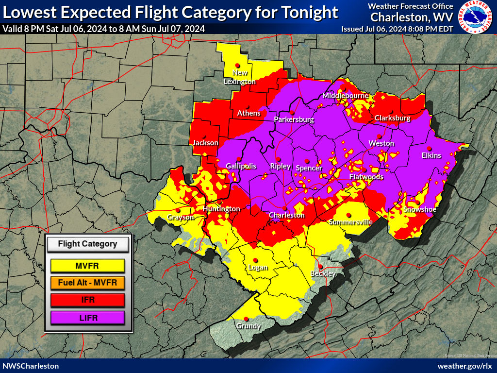
Showers and thunderstorms will continue to diminish in coverage
and intensity overnight. Some of this activity may bring MVFR
conditions to HTS, CRW, and EKN overnight. Otherwise, VFR
conditions should prevail through at least 12Z.
An area of MVFR ceilings may develop during the morning hours
mainly across SE Ohio and north central WV, with improvement to
VFR after 15Z. However, very unstable conditions and the passage
of an upper level short wave will enhance showers and
thunderstorm, some strong to severe, this afternoon and evening.
Very heavy downpours can be expected with the heavier storms.
This will produce brief periods of IFR/LIFR under strong showers
or storms.
Winds will continue to be light from the southwest, except
variable and gusty nearby stronger storms.
FORECAST CONFIDENCE AND ALTERNATE SCENARIOS THROUGH 06Z FRIDAY...
FORECAST CONFIDENCE: Medium.
AVIATION FORECAST CONFIDENCE
| Updated: 315 AM EDT Thu Jul 4 2024 |
| UTC | 08 | 09 | 10 | 11 | 12 | 13 | 14 | 15 | 16 | 17 | 18 | 19 |
| EDT | 04 | 05 | 06 | 07 | 08 | 09 | 10 | 11 | 12 | 13 | 14 | 15 |
| CRW | H | H | H | H | H | H | H | H | H | H | H | H |
| HTS | H | H | H | H | H | H | H | M | H | H | H | H |
| BKW | H | H | H | H | H | H | H | H | H | H | H | H |
| EKN | M | M | M | M | H | H | H | H | M | H | H | H |
| PKB | H | H | M | M | H | H | H | H | H | M | H | H |
| CKB | H | H | H | H | H | H | M | H | H | H | H | H |
| 3 AM | 4 AM | 5 AM | 6 AM | 7 AM | 8 AM | |
 |
 |
 |
 |
 |
 |
 |
| 3 AM | 4 AM | 5 AM | 6 AM | 7 AM | 8 AM | |
 |
 |
 |
 |
 |
 |
|
 Airports with TAFs |
  Airports without TAFs
Additional Local Information |
Regional/National Information |

