
Severe thunderstorms will be possible on Independence Day, mainly across parts of the Upper Mississippi Valley, Ozarks, and southern/central Plains. Excessive heat with possible record highs and warm overnight lows will continue to impact much of the West into next week. Dangerous heat is expected across the Southern U.S. and Mid-Atlantic into the weekend. Read More >
|
Jonathan R Lamb |
|
I. Introduction The remnants of Hurricane Ivan tracked up the spine of the Appalachian Mountains 16-17 September 2004. The track of Ivan was remarkably similar to that followed by Hurricane Frances ten days earlier, moving northeast from northern Georgia along the North Carolina - Tennessee border. The track of both systems along the spine of the Appalachians concentrated the highest rainfall totals in western North Carolina. Frances produced widespread rainfall amounts of 8 to 12 inches, while 6 to 10 inches were common with Ivan. The southern mountains of North Carolina, including Macon County, received the highest rainfall totals during both tropical systems. On the night of Thursday, 16 September, heavy tropical rains had inundated Macon County for several hours. At 10:00 p.m. EDT near the peak of Fishhawk Mountain, approximately 6.5 miles southeast of Franklin, a layer of soil liquefied and began flowing down Peeks Creek. Due to the very steep terrain and abundance of loose surface material, a large debris flow formed and moved down Peeks Creek (Note: The term for this type of slope movement is "debris flow" as defined by the U.S. Geological Survey because it better describes the constituents of this semi-liquid transient mass). The Peeks Creek housing community sits along Peeks Creek near the bottom of Fishhawk Mountain, about one-quarter mile above the Cullasaja River. The massive debris flow destroyed about 15 homes in a matter of seconds, killing four people and seriously injuring several more. As is the case with most debris flows, the conglomeration consisted of very little water by the time it reached the houses. |
 |
 |
|
|
Figure 1. Aerial photograph showing the Peeks Creek watershed. Debris flow began near top of Fishhawk Mountain (blue arrow) and moved through the Peeks Creek community (yellow arrow). Photo courtesy of David Phillips. |
Figure 2. Zoomed aerial photograph showing the portion of the Peeks Creek community that sustained the most damage. Most of the brown parts are house rubble strewn about. Photo courtesy of David Phillips.
|
|
II. Meteorological Background Hurricane Frances made landfall near Sewall's Point, Florida, around 1:00 a.m. EDT, on 5 September 2004, as a Category 2 storm on the Saffir-Simpson Hurricane Scale. Frances moved west-northwest across central Florida early Sunday morning and was downgraded to a tropical storm at 5:00 p.m. EDT that day 20 miles east of Tampa. |
 |
 |
|
| Figure 3. Hurricane Frances track map. Note: Most graphics on this page may be enlarged by left-clicking the image. | Figure 4. Regional rainfall from Hurricane Frances. Data has been smoothed significantly to allow contouring. |
|
Almost exactly ten days after Frances' landfall, powerful Hurricane Ivan churned toward the Gulf coast as a Category 4 storm. Shortly before landfall, Ivan weakened slightly to Category 3 strength, with maximum sustained winds near 130 mph. The center of Hurricane Ivan moved onshore near Gulf Shores, Alabama, at around 3:00 a.m. CDT on Thursday, 16 September 2004. Ivan weakened rapidly as it moved north and then northeast across Alabama on Thursday. Ivan was downgraded to a tropical storm at 2:00 p.m. CDT on Thursday when it was located 45 miles west-northwest of Montgomery, Alabama. Maximum sustained winds had decreased to 70 mph. Ivan was downgraded to a tropical depression late Thursday evening while centered 25 miles north-northwest of Gadsden, Alabama. Maximum sustained winds had dropped to near 35 mph with a minimum pressure of 986 milibars.
The system remained a tropical depression as it slowly moved northeast across northwestern Georgia and eastern Tennessee Thursday night and Friday morning. By 11:00 a.m. EDT on Friday the 17th, the depression was located 45 miles east of Knoxville, Tennessee. Widespread heavy rain affected western North Carolina Thursday night and Friday. Wind gusts reached between 40 and 60 mph across the higher elevations of the Appalachians. Numerous trees were downed, flooding was widespread, and numerous slope failures occurred. Rainfall amounts reached 8 to 12 inches across parts of the region. The debris flow was triggered late Thursday evening as Ivan's rains were at their greatest intensity. Several geological studies in the past 25 years have shown that the best primer for widespread slope failures is high antecedent moisture conditions followed by intense bursts of rain (Neary and Swift 1987). The amount and duration of precipitation needed for widespread slope failures varies, but one geological study in the eastern United States found that a minimum of only five inches of rain in 24 hours was necessary (Eschner and Patric 1982). This condition was easily met in the North Carolina mountains during Ivan. |
 |
 |
| Figure 5. Track of Hurricane Ivan. | Figure 6. Regional rainfall from Hurricane Ivan. Data has been smoothed significantly to allow contouring. |
|
A tropical system track just west of the Appalachian Mountain spine is a worst-case scenario for flooding and landslides from a meteorological perspective. During September 2004, two storms did just that. Although a tropical cyclone immediately begins to weaken over land, the system is still a strong low pressure system well inland. The flow in a low pressure system is approximately counterclockwise relative to the center. Therefore, to the right of a northward moving system, a generally south or southeast wind will occur until the low center passes a given location. Since the Gulf of Mexico and Atlantic Ocean are the primary sources of moisture for this area, a southerly wind will provide the most moisture transport. Also, precipitation is enhanced when a strong southerly flow of moist air affects a surface barrier like the Appalachians. |
|
Local to the Peeks Creek basin, Fishhawk Mountain comprises a small mountain ridge that runs from northwest to southeast. In a strong moist, southerly flow, this could slightly enhance the localized precipitation efficiency by maximizing the upslope wind component. Although some precipitation reports were received around Macon County, no residents near Fishhawk Mountain could be found with an accurate rainfall total for comparison purposes. The limited rainfall reports shown in Figure 9 do infer much heavier rain around the landslide initiation point than to the west near Franklin. Due to terrain blockage in the southwest North Carolina mountains, the KGSP and KMRX WSR-88D radars provide only limited data on precipitation intensity and accumulated rainfall estimates. |
|
 |
| Figure 7. Local topography of the Peeks Creek watershed. Fishhawk Mountain is in the lower-left and the yellow trace indicates the path of the debris flow. The Cullasaja River is just left of US Highway 64 in the upper-right. |
 |
 |
|
Figure 8a. Composite Reflectivity image from KGSP WSR-88D at 0143 UTC (9:43 p.m. EDT). Circled area shows the general region while the home cursor is positioned at Fishhawk Mountain. Notice enhanced 50-55 dbZ returns approaching the area. |
Figure 8b. Composite Reflectivity image from KGSP at 0148 UTC (9:48 p.m. EDT). Notice the enhanced 50-55 dbZ returns over Fishhawk Mountain. The landslide occurred at approximately 0200 UTC (10:00 p.m. EDT). |
 |
||
| Figure 9. Rainfall plot for Macon county from Ivan. Enlarging image will make rainfall totals legible. The largest rain amounts were in the southeast portion of the county near Highlands. Circled area shows Peeks Creek watershed. |
|
III. Evolution of the Event At approximately 10:00 p.m. EDT, after four to six inches of rain had soaked southeastern Macon County, a portion of Fishhawk Mountain failed. The sheet of loamy soil that liquefied was only two to three feet deep, below which lay solid bedrock. The slope at initiation was about 50 degrees with an elevation of nearly 4450 ft MSL. A natural spring originated near the pinnacle of Fishhawk Mountain and likely contributed to this part of the slope giving way. This spring was trickling two weeks after the event when the author toured the area. The flow of water through the spring probably increased drastically during the heavy rains of Ivan. Given the geological and hydrological setup, it is not surprising that this particular slope failure occurred. |
 |
 |
|
| Figure 10. The slope failure occurred at this point. Scale is difficult to ascertain from this image, but the soil is one to three feet deep. Woody vegetation is growing in the thin soil surrounding this. Moisture can be seen on bedrock and soil. |
Figure 11. A view of the exposed bedrock at the top of the slide area. The steepness of the slope is difficult to see in pictures, but is about 50 degrees here. Aggregate organic debris is seen at the bottom of the rock sheet, with water trickling down the face. Fig. 10 is a close-up of the area near the top of this photograph. |
|
|
In several ways, trees and vegetation told the story of how this event unfolded. The debris flow depth was evident from the height that branches or stems were broken off adjacent bushes. Piles of splintered trees in several spots on the bank illustrated the momentum of the flow, as standing trees were swept away and deposited downstream. A few trees had been snapped in half like toothpicks, probably because they got trapped in living trees along the side. An even more vivid demonstration of the flow size was bark and branches scraped off living trees adjacent to the ravine, sometimes 80 feet above the ground. These scars were caused by the abrasive actions of entire trees held erect in the moving flow. |
||

Figure 12. A living pine tree adjacent to the
creek basin. Branches can be seen snapped off near the top of the tree. Scrape signatures like this one were common on trees near the creek basin. |

Figure 13. A pile of splintered trees that were deposited
by the moving flow into unaffected adjacent trees. Several other piles of trees were seen along the edges of the creek bed. |
|
|
|
||
 Figure 14. Looking upstream at the wide area. Peeks Figure 14. Looking upstream at the wide area. PeeksCreek flows in two streams around the newly formed island of rocks and organic debris, then reconvenes at the lower-left of the image. |
About 1.8 miles from the top of Fishhawk Mountain, the slope decreases considerably. When the flow of debris reached this area, the slowing material fanned out. The less viscous material split into two streams along the tree line. As naturally occurs when a mass of suspended material slows down and spreads, the largest debris continued straight forward, depositing much of the load into a natural "island." The contents of the mound were incredible: car-sized boulders, entire trees with roots still attached, sticks and a lot of soil. It is not known how dense the foliage was prior to the flow reaching this area, but now the cleared area is between 500 and 1000 feet across. The overall size of the piled soil, trees, rocks and organic material was impressive. |
 |
|
Figure 15. Panoramic photograph of the wide area. Immense pile of rocks and organic debris can be seen in the center. The stream flows from right to left in this image. |
|
|
Figure 16. One of the destroyed vacation cabins. |
|
A few tenths of a mile below the cabins stood the Peeks Creek community, a series of about 20 houses, most of which were inhabited year-round. Most of the structures were situated very close to the creek bed, but as residents noted, in the last several decades the creek had never risen high enough to threaten the homes. According to the North Carolina Geological Survey, the flow of debris barreled through the community at about 30 miles per hour, with a peak discharge of 45,000 cubic feet of material per second (Fig. 23). For comparison purposes, this is about three times the mean discharge of the French Broad River at Asheville, North Carolina. In a matter of seconds the torrent crashed through about 15 homes, reducing some to splinters, while pushing others off their foundations and severely damaging them. Four fatalities occurred, along with several serious injuries. Just beyond the houses, the terrain leveled off into a grassy plain. The flow of debris, including parts of the homes, slowed down and spread out at this point. Three detached sheds near a large house were flattened by the remaining flow before it concluded at the Cullasaja River. This was at about 2250 ft MSL. The entire event took place over a vertical elevation change of about 2200 feet during a period of 15-30 minutes. |
 |
 |
|
| Figure 17. One of the first homes to be hit by the wall of debris. Although much of the house remains intact, it was pushed off its foundation. | Figure 18. An immense pile of trees, house debris and several vehicles. | |
 |
 |
|
| Figure 19. A large pile of felled trees with the remnants of at least one house. | Figure 20. Tree and house debris. Most notable are the two mangled automobiles. | |
 |
 |
|
| Figure 21. A house torn apart and moved from its foundation. Piles of rubble from other destroyed homes upstream are visible in the center and right. | Figure 22. Three detached sheds next to this house were destroyed; the last damage caused by the debris flow before entering the Cullasaja River. |
|
The US Geological Survey and North Carolina Geological Survey are actively involved in debris flow research. They are attempting to map regions with a heightened risk of slope failures for use by municipal planners and prospective residents of steep terrain. The task, however, is monumental, due to the sheer quantity of rugged terrain yet to examine. Considerable improvements to short-range landslide prediction and public awareness are also underway. The U.S.G.S. has, for several years, issued official Landslide Advisories for broad regions one to three days in advance of anticipated widespread slope failures. The North Carolina Geological Survey started issuing Landslide Advisories for more specific areas of western North Carolina in 2004. A collaborative effort between the US Geological Survey, N.C. Geological Survey, and National Weather Service has recently taken shape. More effective dissemination of the landslide advisories or the information they contain is under consideration by the involved agencies. Also, an integral part of these landslide predictions is accurate quantitative precipitation forecasts (QPF). The unusually large number of landslides during the 2004 tropical season has prompted a new partnership between the NOAA National Weather Service (NWS) and the U.S.G.S. The U.S.G.S. plans to directly utilize precipitation forecasts from the NWS for their landslide products.
This event illustrates a need for improved landslide awareness by residents of the higher terrain. Simply because flooding is not common in a given location does not imply a reduced risk of a slope failure and/or debris flow. Through the mapping work being done by geological officials and an ongoing public education campaign, future fatalities due to debris flows will hopefully be prevented. |
|
|
 |
|
Figure 23. A detailed analysis of the Peeks Creek debris flow from the North Carolina Geological Survey. The flow velocity and estimated discharge were calculated at several places along the path. |
|
The United States Geological Survey has a plethora of information about landslides on their website. The North Carolina Geological Survey is tasked with studying the individual events that affect the state. They played the central role of researching the Peeks Creek disaster and reporting the findings. Their website contains detailed information and pictures from many landslides. NOAA's National Weather Service issues a full suite of forecasts and warning products for the entire U.S. and its territories.
The Hydrometeorological Prediction Center, a branch of the NOAA National Weather Service, issues quantitative precipitation forecasts (QPF) for the entire U.S. Their entire suite of QPF products can be found here. |
ACKNOWLEDGEMENTS. Joseph Pelissier made the rainfall contour maps for
Frances and Ivan. Brian Campbell provided the regional topographic map and
took several of the damage photographs immediately after the event occurred.
REFERENCES
Eschner, A.R., and Patric, J.H., 1982: Debris avalanches in eastern upland forests.
     Journal of Forestry, 80, 343-347.
Neary, D.G., and Swift, L.W., Jr., 1987: Rainfall thresholds for triggering a debris
     avalanching event in the southern Appalachian Mountains in Costa, J.E., and
     Wieczorek, G.F., eds., Debris flows/avalanches; Process, recognition and
     mitigation. Geological Society of America, Reviews in engineering geology,
     VII, 81-92.


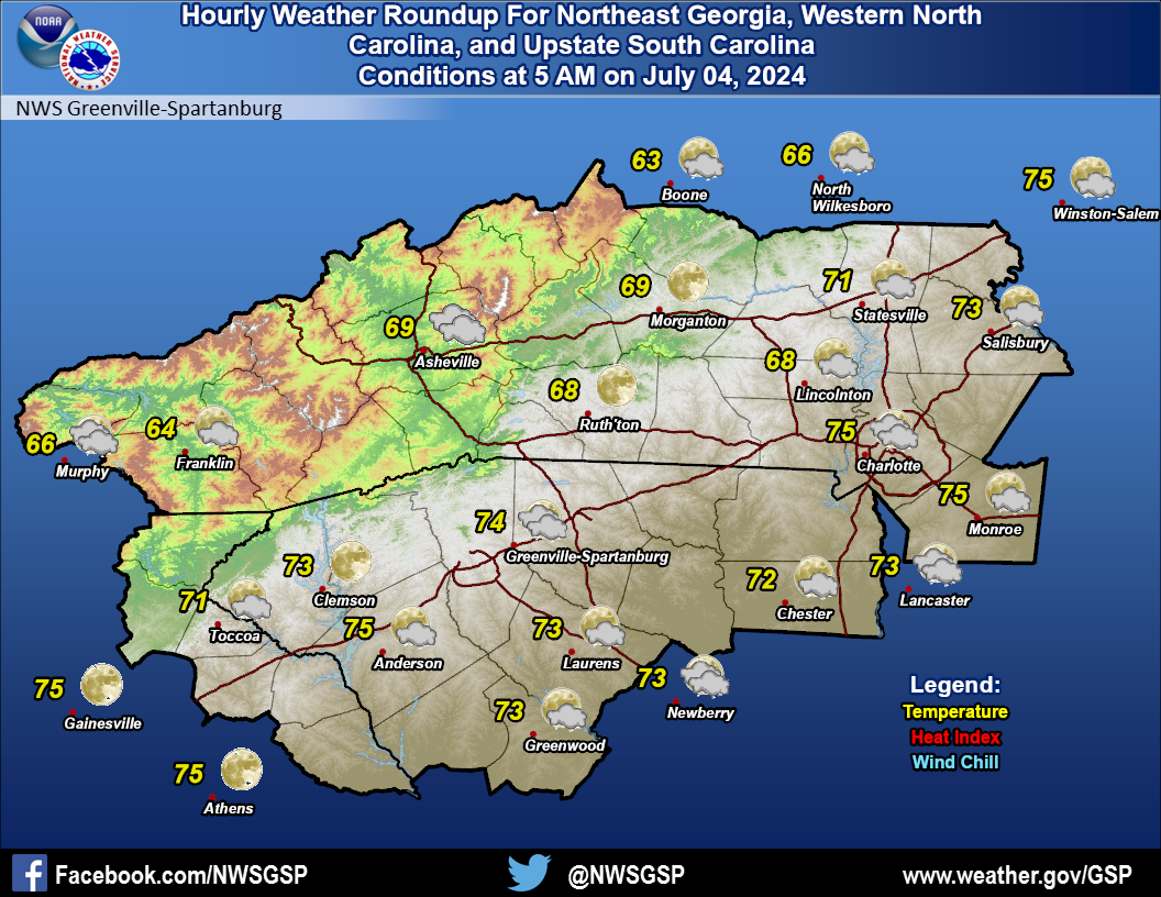 Current Conditions Map