
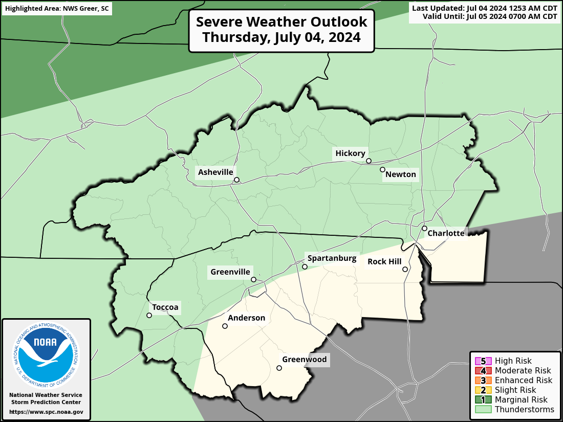
Severe thunderstorms will be possible on Independence Day, mainly across parts of the Upper Mississippi Valley, Ozarks, and southern/central Plains. Excessive heat with possible record highs and warm overnight lows will continue to impact much of the West into next week. Dangerous heat is expected across the Southern U.S. and Mid-Atlantic into the weekend. Read More >
Greenville-Spartanburg, SC
Weather Forecast Office
| Click on the icons below to access individual briefing pages |
|
|
|
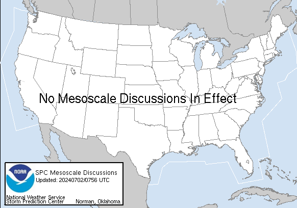
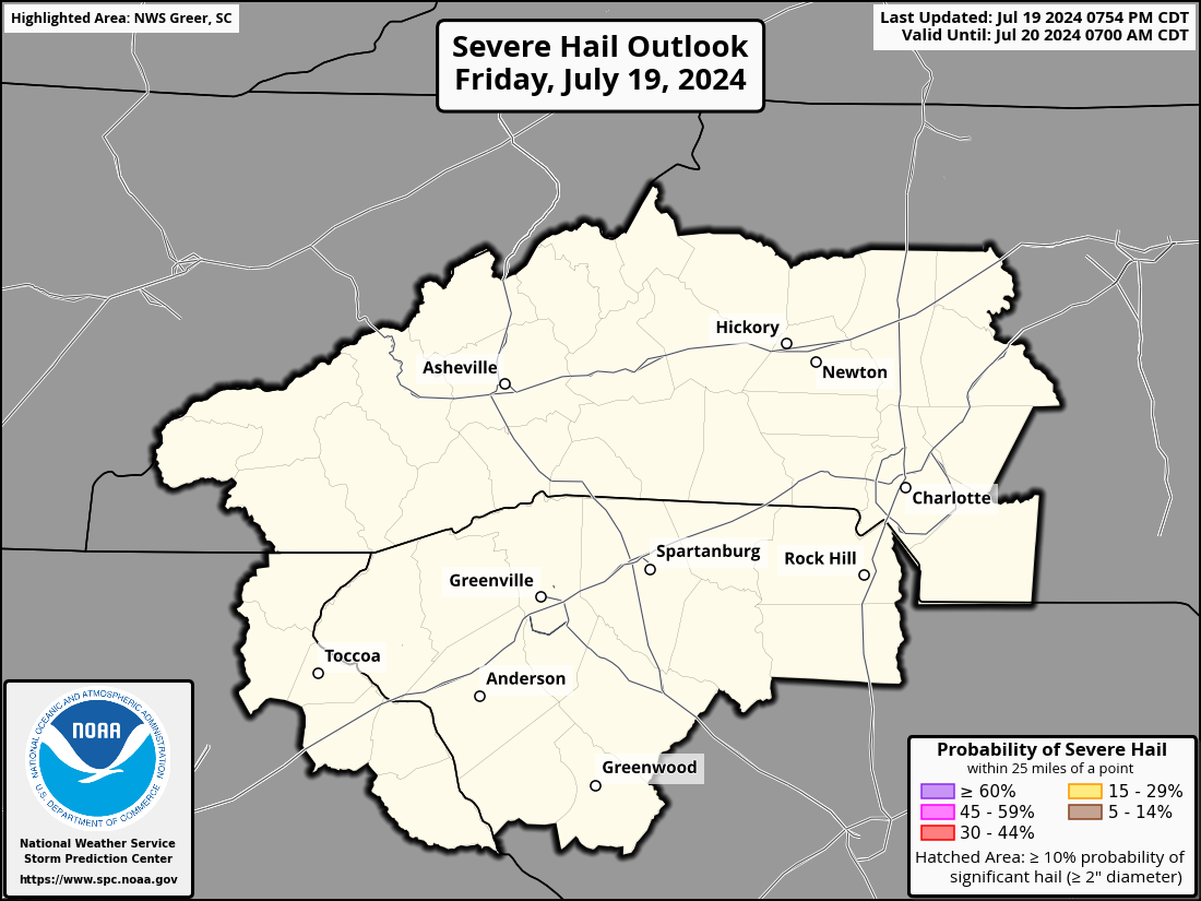
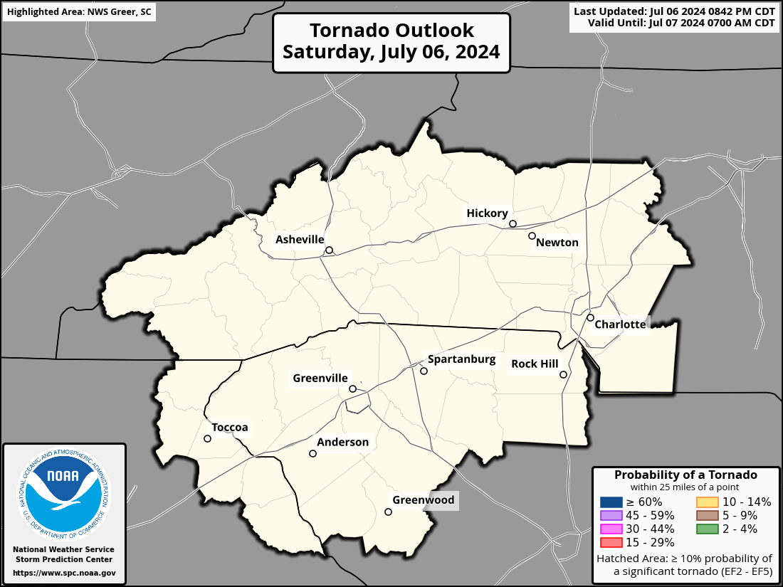
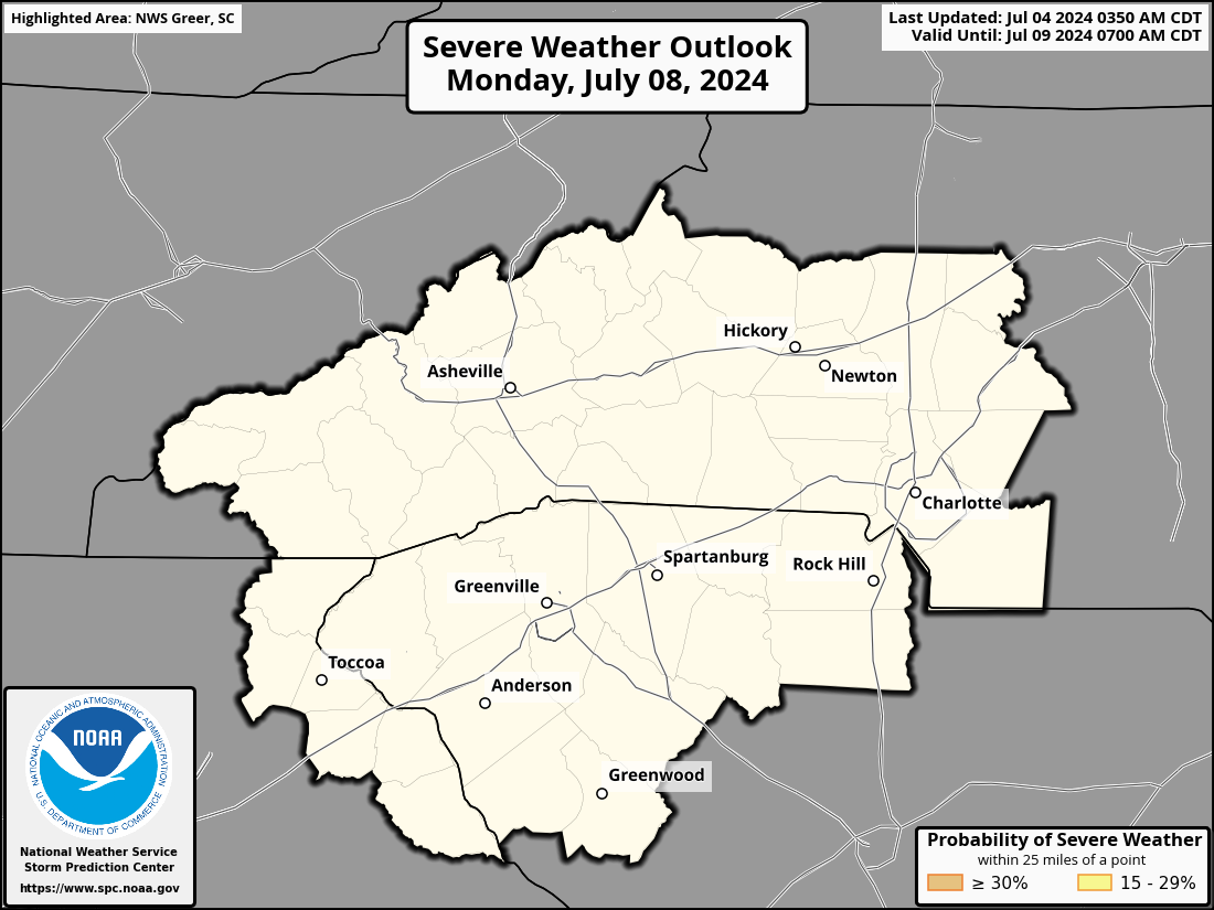
Storm Prediction Center Outlook and Watch Info (Details)
|
Forecast
Hourly Forecast Graph
Weather Activity Planner
Text Forecasts and Hazards
Graphical Forecasts
Aviation
Fire Weather
Lake Forecasts
Mountain Forecasts
Weather Prediction Center
Model Data
Hazards
Hazardous Weather Outlook
Severe Thunderstorms
Heavy Rainfall and Flooding
Tropical Weather
Reporting Severe Wx
Storm Prediction Center
National Hurricane Center
Space Weather
Office Programs
Local Research
Newsletter
NOAA Weather Radio
Skywarn
Cooperative Observers
CoCoRaHS
StormReady
WRN Ambassadors
Office Staff
US Dept of Commerce
National Oceanic and Atmospheric Administration
National Weather Service
Greenville-Spartanburg, SC
GSP International Airport
1549 GSP Drive
Greer, SC 29651
(864) 848-3859
Comments? Questions? Please Contact Us.


 Tropical Weather
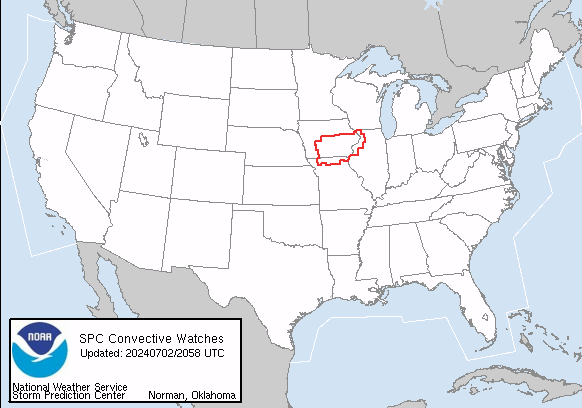


 Current Conditions Map