
Severe thunderstorms are expected mainly from Kansas into northern Missouri and into Iowa Tuesday. Damaging winds will be the most likely threat, with large hail possible. An Enhanced Risk (level 3 of 5) of severe thunderstorms is in effect. Hot conditions will continue across the Southern Plains Tuesday, spreading into the southeast and Mid-Atlantic by Independence Day. Read More >
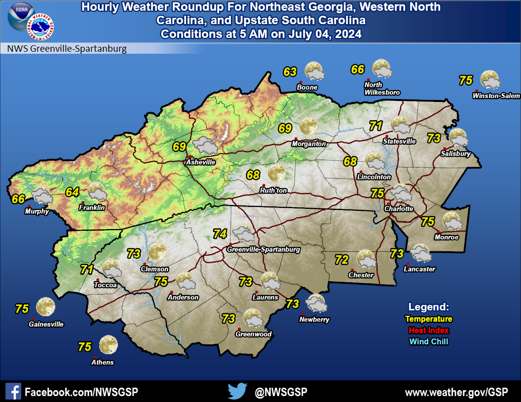
Greenville-Spartanburg, SC
Weather Forecast Office
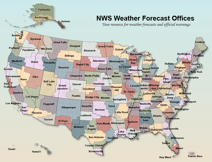
Click your approximate location on the map to launch your local weather office's home page.
Forecast
Hourly Forecast Graph
Weather Activity Planner
Text Forecasts and Hazards
Graphical Forecasts
Aviation
Fire Weather
Lake Forecasts
Mountain Forecasts
Weather Prediction Center
Model Data
Hazards
Hazardous Weather Outlook
Severe Thunderstorms
Heavy Rainfall and Flooding
Tropical Weather
Reporting Severe Wx
Storm Prediction Center
National Hurricane Center
Space Weather
Office Programs
Local Research
Newsletter
NOAA Weather Radio
Skywarn
Cooperative Observers
CoCoRaHS
StormReady
WRN Ambassadors
Office Staff
US Dept of Commerce
National Oceanic and Atmospheric Administration
National Weather Service
Greenville-Spartanburg, SC
GSP International Airport
1549 GSP Drive
Greer, SC 29651
(864) 848-3859
Comments? Questions? Please Contact Us.


 Current Conditions Map