
Severe thunderstorms are expected mainly from Kansas into northern Missouri and into Iowa Tuesday. Damaging winds will be the most likely threat, with large hail possible. An Enhanced Risk (level 3 of 5) of severe thunderstorms is in effect. Hot conditions will continue across the Southern Plains Tuesday, spreading into the southeast and Mid-Atlantic by Independence Day. Read More >
Last Map Update: Tue, Jul 2, 2024 at 2:00:16 am PDT

|
Text Product Selector (Selected product opens in current window)
|
|


 Social Media
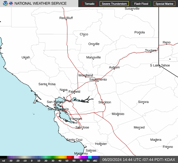 Sacramento Radar
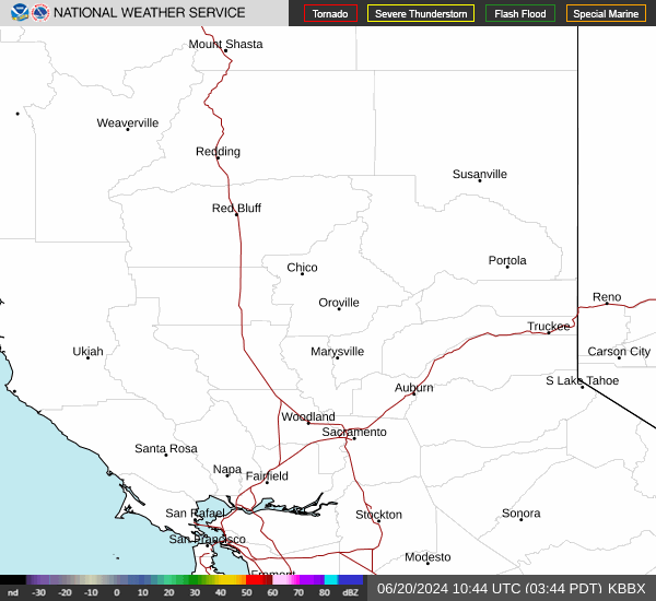 Beale Radar
 Satellite
 Graphical Forecasts - Local
 Graphical Forecasts - U.S.
 Forecast Weather Tables
 Recent STO Temperatures
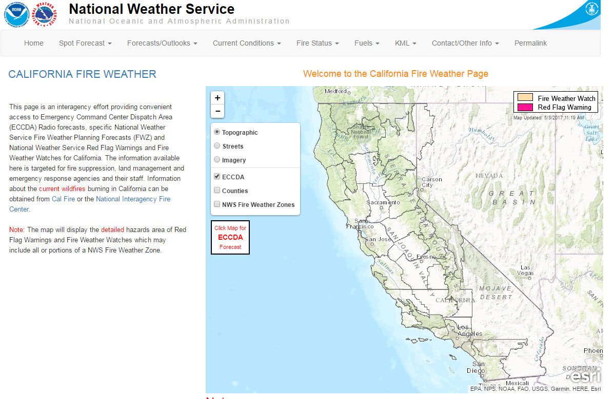 California Fire Weather Page
 Caltrans QuickMap
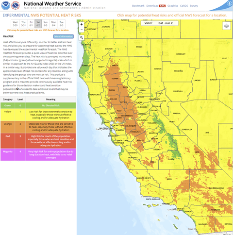 Heat Risk Link
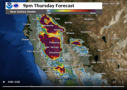 Experimental Smoke Forecast