
A slow-moving storm system will continue to produce widespread heavy showers and thunderstorms which may bring excessive rainfall and flooding as it tracks across the Southeast and Mid-Atlantic regions today into Wednesday. Gusty winds and dry fuels under potential record setting temperatures will support widespread critical fire weather in the northern Plains and Upper Midwest today. Read More >
Last Map Update: Mon, May 12, 2025 at 6:04:29 pm PDT


|
Text Product Selector (Selected product opens in current window)
|
|


 Social Media
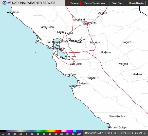 San Francisco Radar
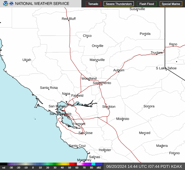 Sacramento Radar
 Satellite
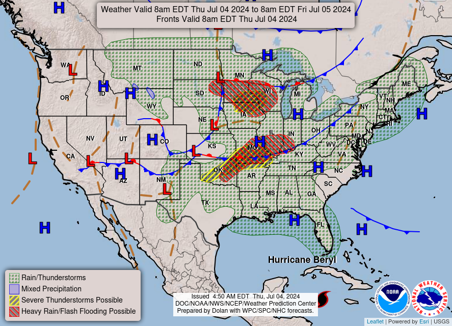 Weather Map
 Local Graphical Forecast
 U.S. Graphical Forecasts
 Forecast Weather Tables
 Recent MTR Temperatures
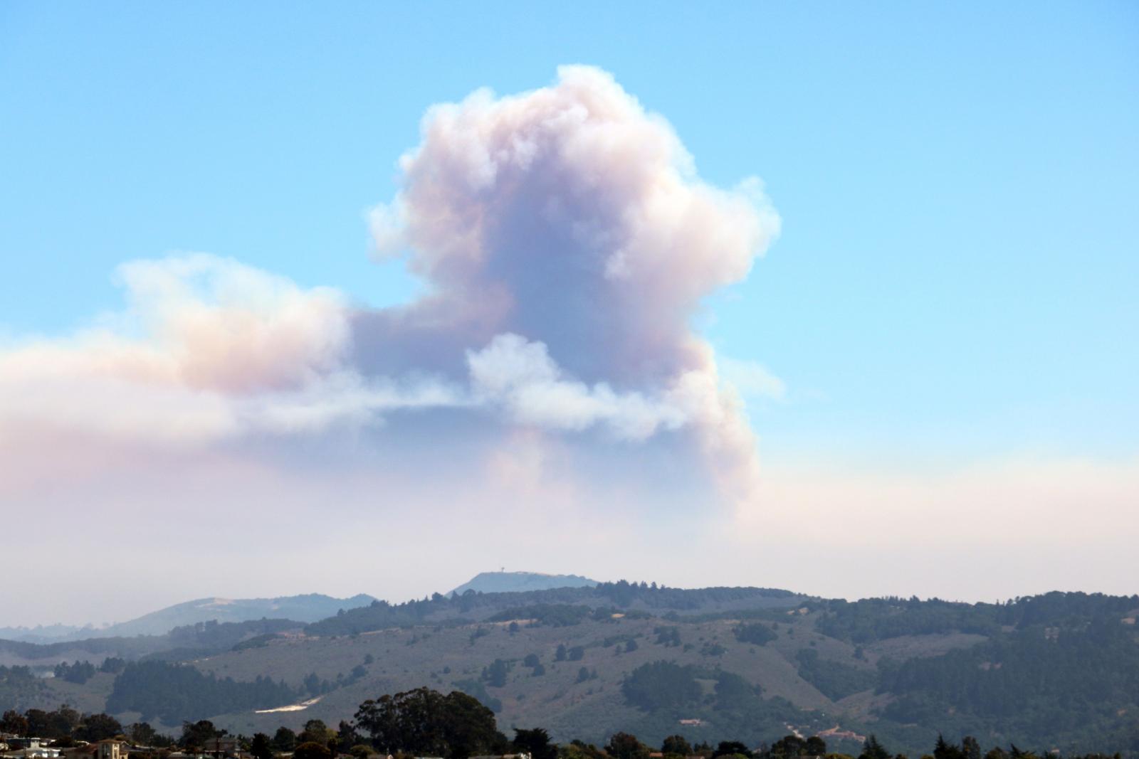 Fire Weather
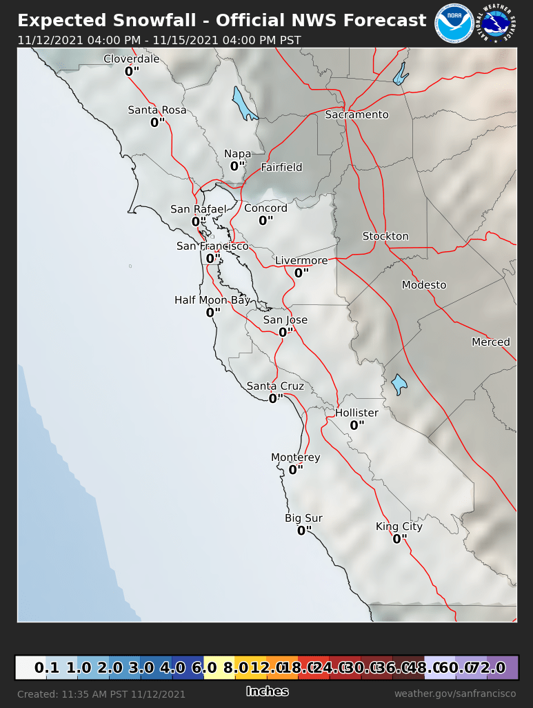 Probabilistic Snowfall Forecasts
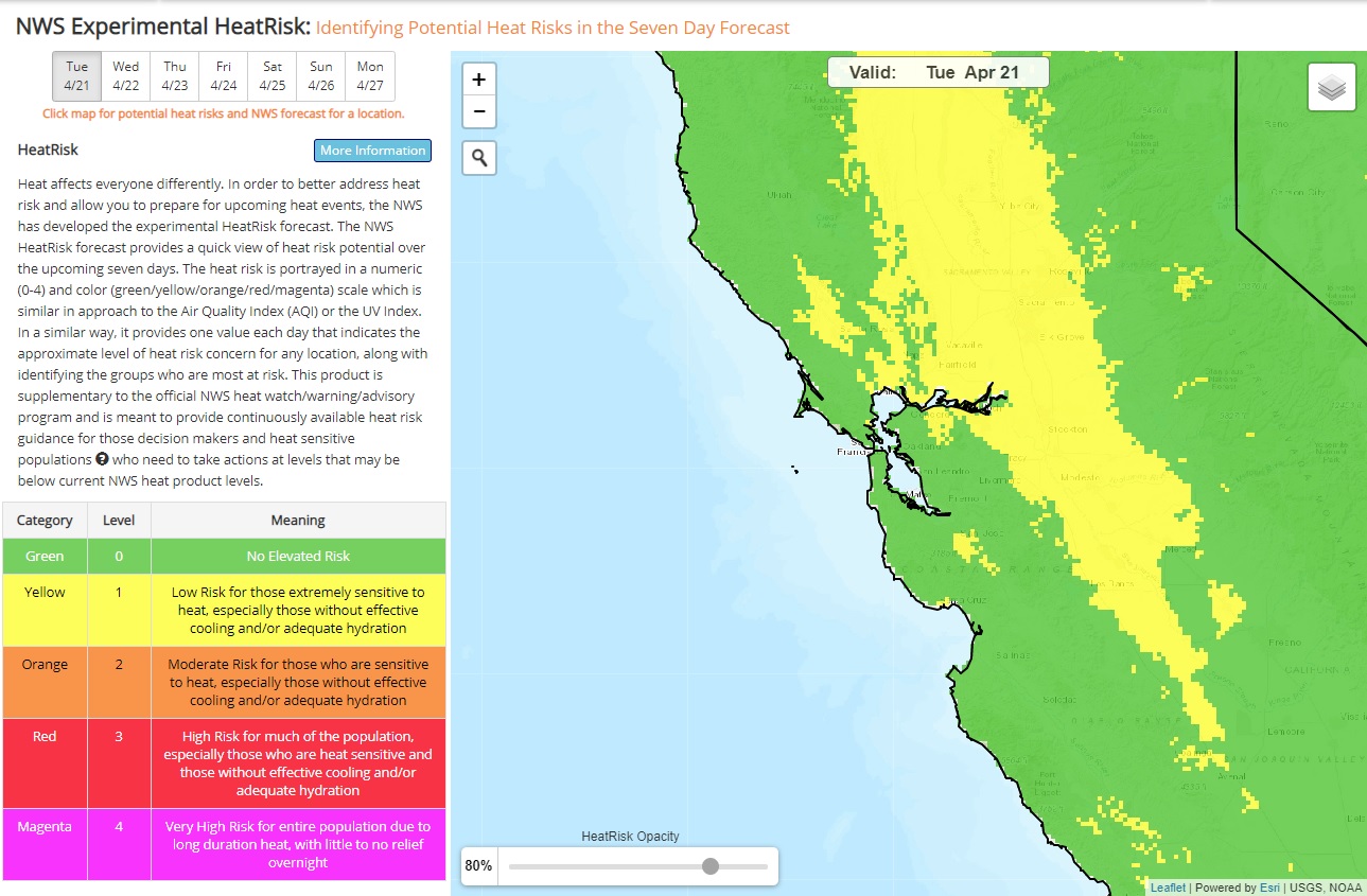 Heat Risk Link