
Severe thunderstorms will be possible on Independence Day, mainly across parts of the Upper Mississippi Valley, Ozarks, and southern/central Plains. Excessive heat with possible record highs and warm overnight lows will continue to impact much of the West into next week. Dangerous heat is expected across the Southern U.S. and Mid-Atlantic into the weekend. Read More >
Latest Aviation Discussion:
.AVIATION /06Z THURSDAY THROUGH MONDAY/...
As of 130 AM EDT Thursday...

VFR conditions across area terminals to begin the 06z/4 TAF
period are expected for the next 24 hours. Some very patchy
early morning stratus is possible Thursday morning. Otherwise,
VFR expected through much of Independence Day with SCT-BKN late
morning to aftn CU with bases of 4-6kft and a SSW wind of
8-12kt. A few showers/tstms could drift into RIC after 20-21z
and closer to 00z at SBY.

Any showers/tstms should dissipate later Thursday evening.
There is a potential for early morning shallow ground fog/low
stratus Friday through Sunday mornings with increased low-level
moisture. This will also lead to a chc for aftn/evening
showers/tstms, as a slow moving boundary approaches from the NW
through Friday. The front is expected to stall and gradually
weakens as it crosses into the region over the weekend into
Monday.

&&
|
This discussion and more can be found in the Area Forecast Discussion.
Aviation Forecasts
The National Weather Service Office in Wakefield, VA has responsibility for five Terminal Aerodrome Forecasts or TAFs in Virginia, Maryland and Northeast North Carolina. Click on the RUNWAY on the map below to view the latest TAF.
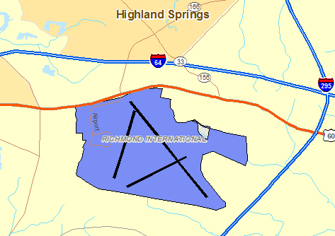
RICHMOND
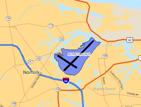
NORFOLK
SALISBURY

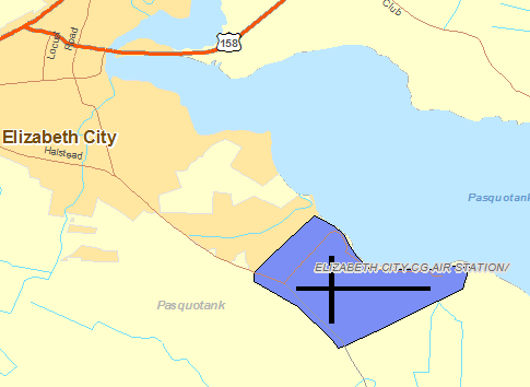
ELIZABETH CITY
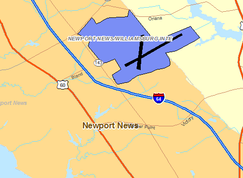
NEWPORT NEWS/WILLIAMBURG
Center Weather Service Unit Products
One Center Weather Service Unit (CWSU) covers the NWS Wakefield, VA County Warning Area. Use the buttons on the map or....CLICK HERE to view either a Meteorological Impact Statement (MIS) or Center Weather Advisory (CWA) issued by the CWSUs. For complete AVIATION WEATHER CENTER products click here.
Interactive Aviation Map (mouse over & CLICK for Observations)
See Complete MESONET MAP & OBS
Decoded/Raw Text
Surface Weather Maps
Wind Rose Data
Miscellaneous


 Coastal Flood
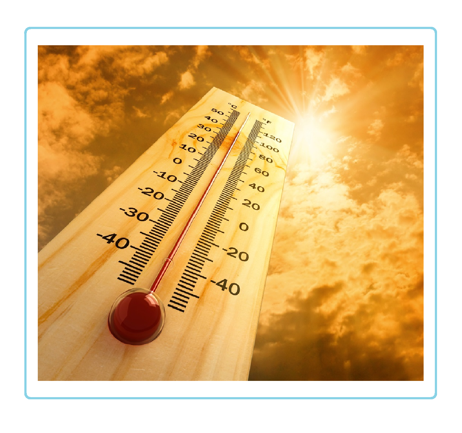 Heat
Heat