
Severe thunderstorms will be possible on Independence Day, mainly across parts of the Upper Mississippi Valley, Ozarks, and southern/central Plains. Excessive heat with possible record highs and warm overnight lows will continue to impact much of the West into next week. Dangerous heat is expected across the Southern U.S. and Mid-Atlantic into the weekend. Read More >
|
SEVERE & WINTER WEATHER |
||
| Tornado Warning TOR |
Severe Weather Statement SVS |
Severe Thunderstorm Warning SVR |
| Watch County Notification WCN |
Winter Storm Watch/Warning/Advisory WSW |
|
|
STATE REPORTS/COLLECTIVES |
||
| State MAX/MIN Temp. and Precip. RTPAKQ |
Regional Weather Roundup RWRAKQ |
State Forecast (VA/NC/MD) SFTAKQ |
|
AVIATION |
|||||||
| TAFRIC | TAFSBY | TAFORF | TAFPHF | TAFECG | |||
|
FIRE WEATHER |
|||
| Fire Weather Forecast FWFAKQ |
Red Flag Warning RFWAKQ |
POINT FORECAST MATRIX PFWAKQ |
Spot Forecast FWSAKQ |
|
RADAR STATUS MESSAGES |
||
| FTMAKQ | FTMDOX | |


 Coastal Flood
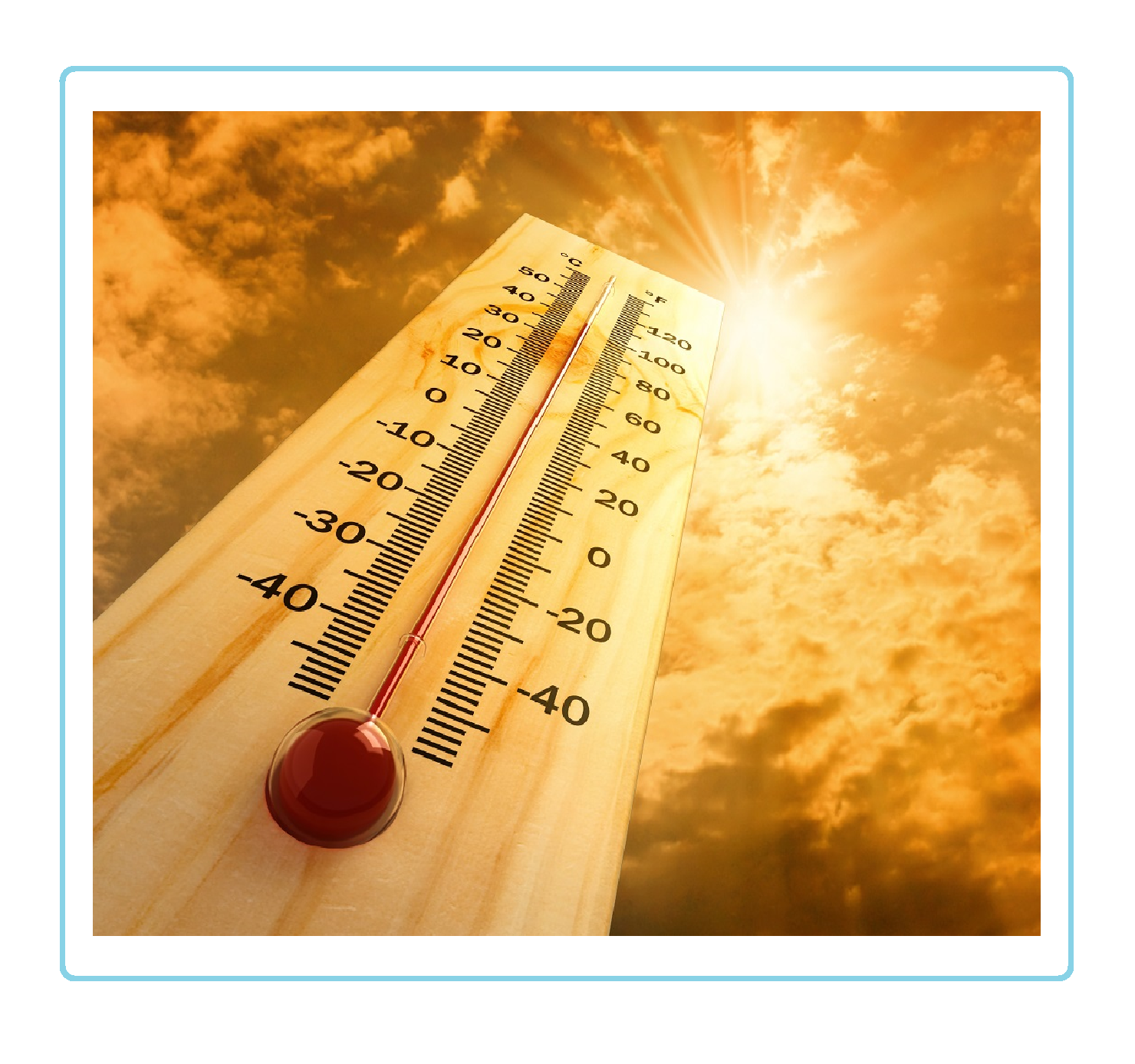 Heat
Heat