
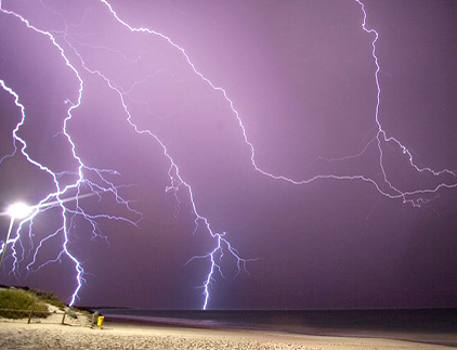
Severe thunderstorms will be possible on Independence Day, mainly across parts of the Upper Mississippi Valley, Ozarks, and southern/central Plains. Excessive heat with possible record highs and warm overnight lows will continue to impact much of the West into next week. Dangerous heat is expected across the Southern U.S. and Mid-Atlantic into the weekend. Read More >
|
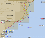
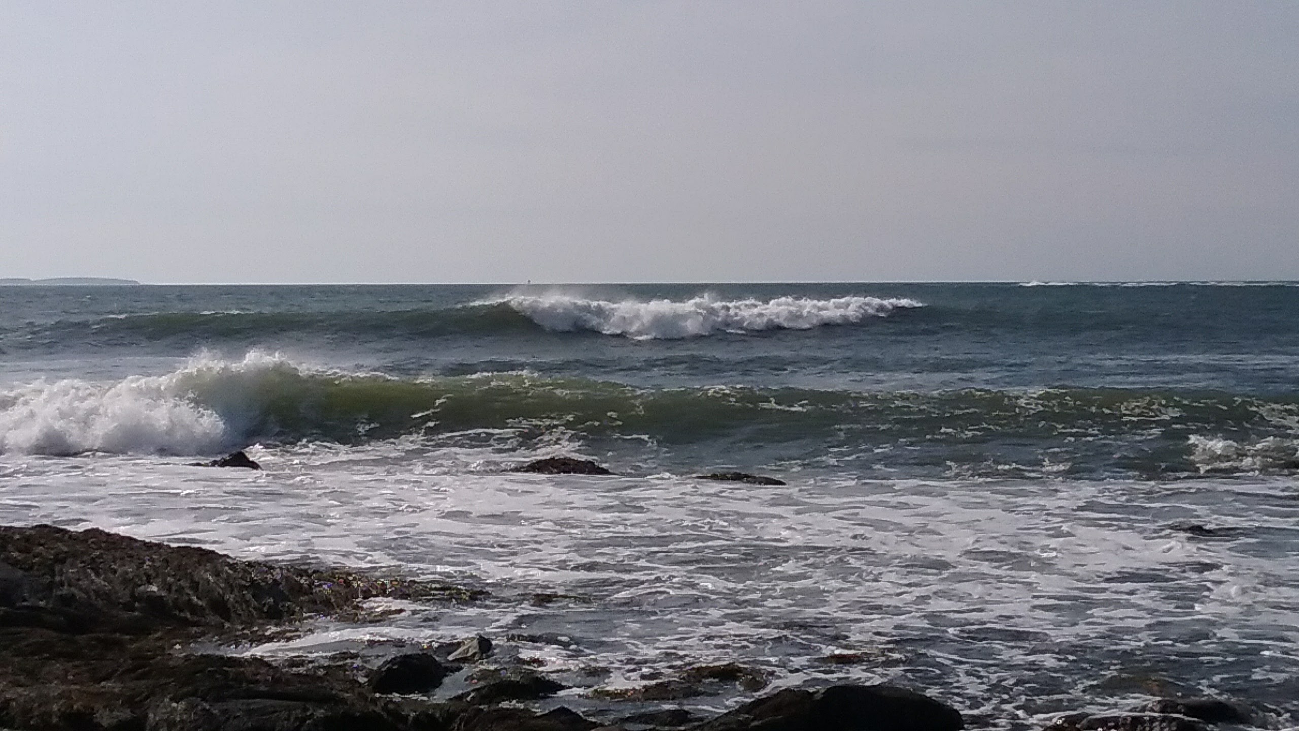
Coastal Waters Forecast Graphical Wave Forecast Coastal Point Forecast Surf Forecast |
| Coastal Waters Forecasts | Select Point Forecast Products |
| Graphical Forecasts | Offshore & High Seas Forecasts |
| Beach and Surf Forecasts (Seasonal) | Forecast Discussions |
|
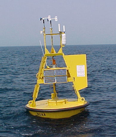
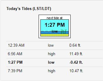
Text Observation Listing Tides Sea Surface Temps Total Water Level S.A. |
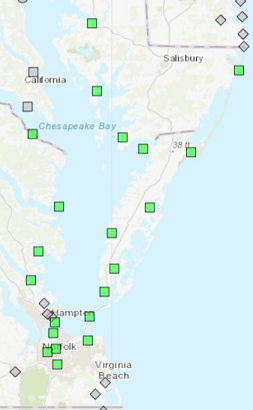
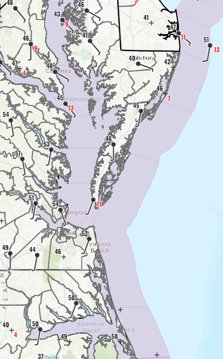
| Buoy Data | Tide Data |
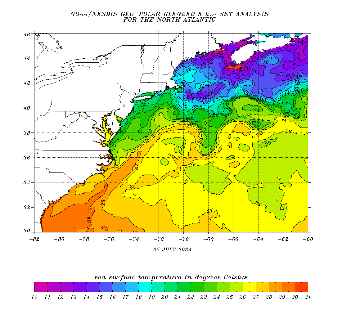
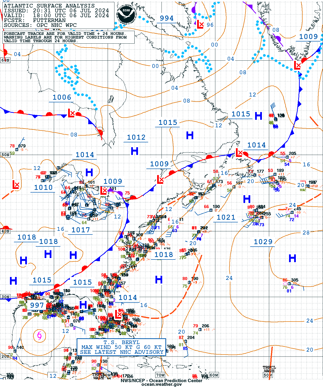
| Winds/Waves Analysis & Lightning Data | Sea Surface Temperatures |
|
|
Marine Hazards Tropical Warnings Tsunami Warning Center Hazard Criteria |
| Marine Weather Watches/Warnings/Advisories | Marine Weather Statements |
| Special Marine Warnings | Coastal Flood Watches/Warnings/Advisories/Statements |
|
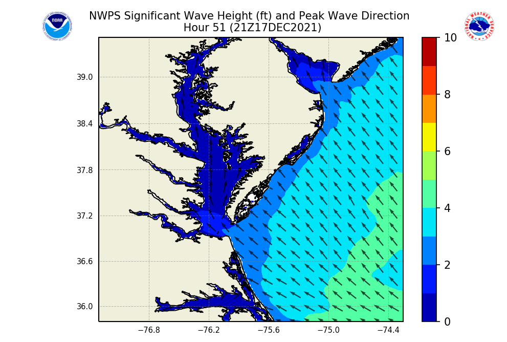
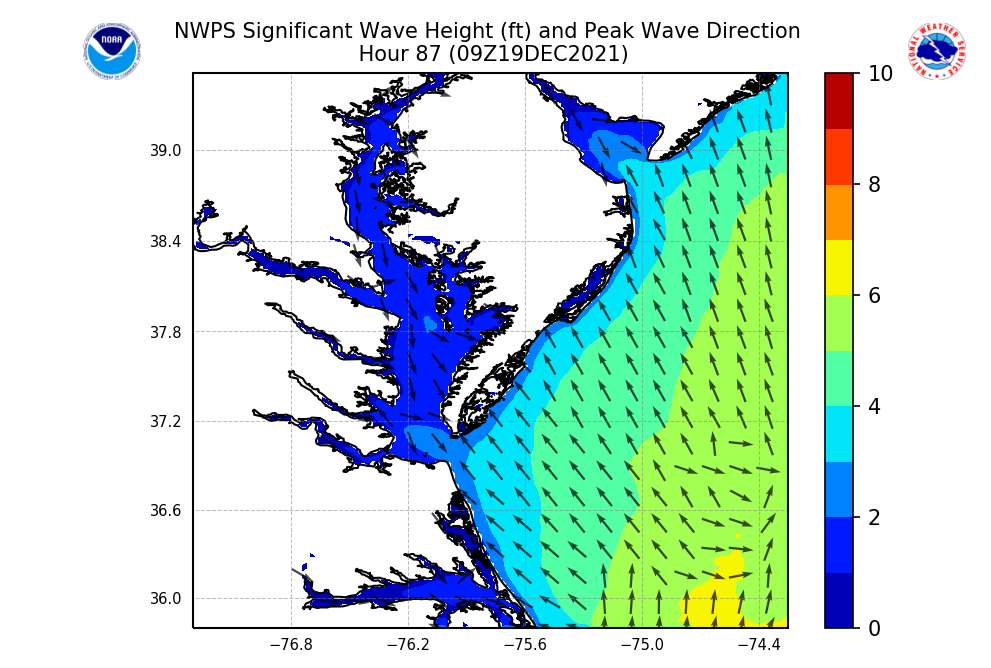
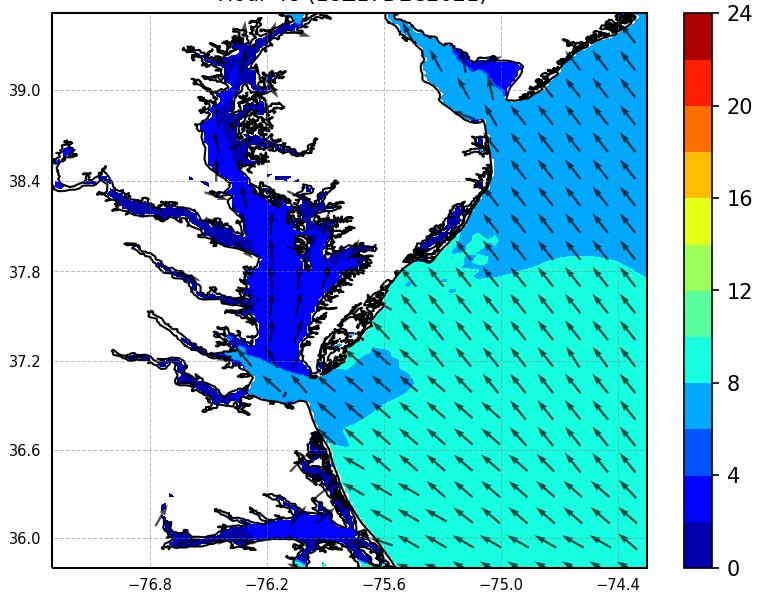
Nearshore Wave Model Surface Currents Wave Period/Direction NOAA Wave Watch III |
| Nearshore Wave Prediction Model (NWPS) | Other Model Guidance |
|
|
Rip Current Safety Safe Boating Cold Water Awareness Beach Hazards Safety |
| Marine Weather Safety and Tropical Information | Beach Safety |
|
| Cold Water Awareness | Marine Centers |


 Coastal Flood
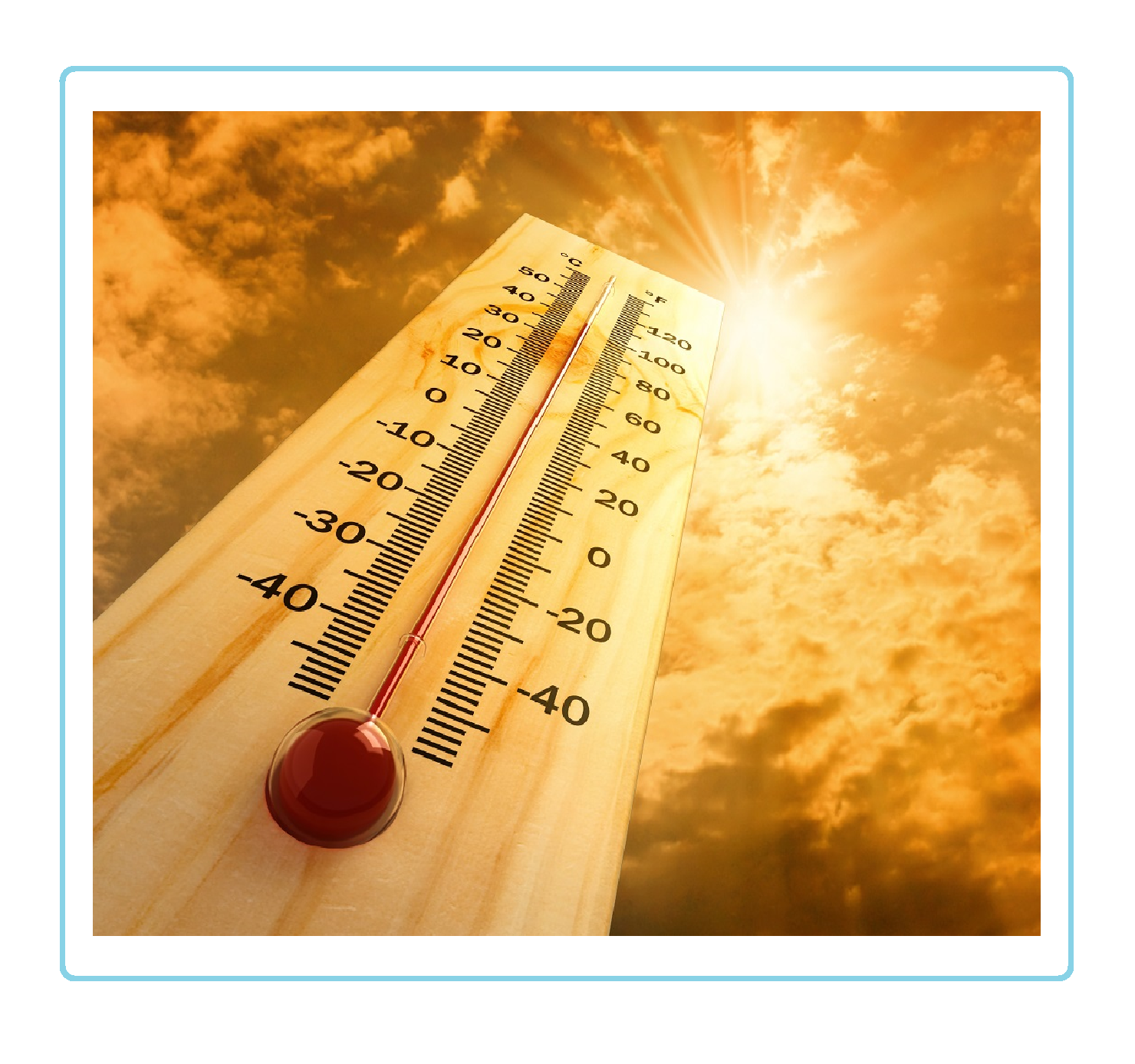 Heat
Heat 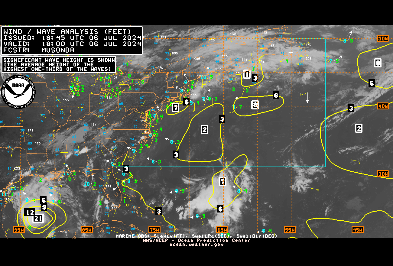